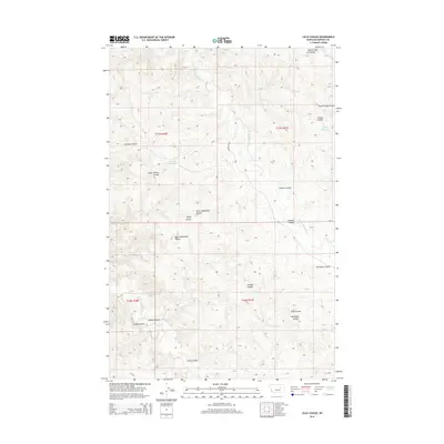
2014 Map of Lelig Coulee
USGS Topo · Published 2014About this map
The S Fork Lodgepole Cr drainage network defines this high-plains landscape in Garfield County, where a complex system of coulees carves through the terrain. The map details an area of Eastern Montana dominated by traditional ranching and water management features, including the Ezekiel Reservoir and Split Reservoir. The nomenclature of the land reflects a history of local landholders and family names, preserved through labels such as Henryson Coulee, North Wilson Coulee, and Sandage Coulee. Aside from the primary transit of Lodgepole Rd, the territory is characterized by its intermittent watercourses and the seasonal drainage of the Lelig Coulee, which provides an essential understanding of the area's hydrology and historical land use patterns before the mid-2010s.
Find a feature on this map
20 named features on this map. Tap any name to fly to it.
Don’t see what you’re looking for? This feature index may not catch every label — zoom into the map to look around manually.
Map Details
Editions of this 2014 Lelig Coulee Map
This is the sole edition of this map. No revisions or reprints were ever made.
Other maps of this area

1954 · Jordan
USGS Topo · 1:250,000

1956 · Jordan
USGS Topo · 1:250,000

1958 · Jordan
USGS Topo · 1:250,000

1964 · Jordan
USGS Topo · 1:250,000
1967 · Barney Pinnacle
USGS Topo · 1:24,000
1967 · Froehlich Butte
USGS Topo · 1:24,000

1967 · Nelson Coulee
USGS Topo · 1:24,000
1967 · Fail Ranch
USGS Topo · 1:24,000
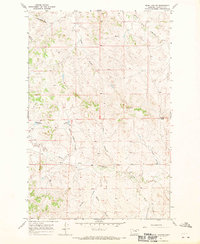
1967 · Searl Coulee
USGS Topo · 1:24,000
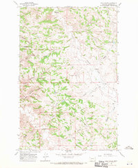
1967 · Lelig Coulee
USGS Topo · 1:24,000