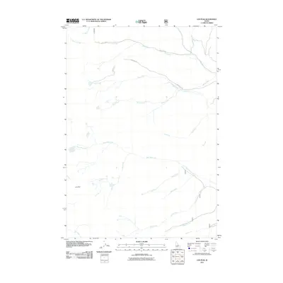
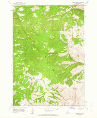
2011 Map of Lem Peak
USGS Topo · Published 2011About this map
Lem Peak stands as the central topographic anchor of this high-elevation Idaho landscape, where a dense network of mountain drainages forms the headwaters for numerous local creeks. The drainage patterns define the territory, with major systems like Bear Valley Creek and Basin Creek cutting through the terrain. In 2011, this area in Lemhi County remained largely defined by its primitive road network, specifically Trail Creek Rd and Basin Creek Rd, which provide the primary access through these steep valleys.
Find a feature on this map
20 named features on this map. Tap any name to fly to it.
Don’t see what you’re looking for? This feature index may not catch every label — zoom into the map to look around manually.
Map Details
Editions of this 2011 Lem Peak Map
This is the sole edition of this map. No revisions or reprints were ever made.
Other maps of this area

1955 · Dubois
USGS Topo · 1:250,000

1956 · Patterson
USGS Topo · 1:62,500

1956 · May
USGS Topo · 1:62,500

1956 · Lemhi
USGS Topo · 1:62,500

1958 · Dubois
USGS Topo · 1:250,000
1962 · Allison Creek
USGS Topo · 1:24,000
1962 · Goldbug Ridge
USGS Topo · 1:24,000
1962 · Lem Peak
USGS Topo · 1:24,000
1962 · Poison Peak
USGS Topo · 1:24,000

1980 · Leadore
USGS Topo · 1:100,000