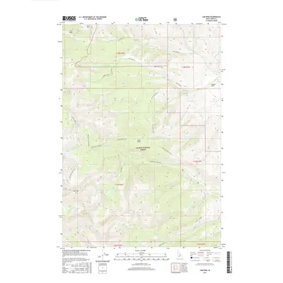
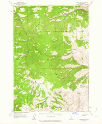
2017 Map of Lem Peak
USGS Topo · Published 2017About this map
Lem Peak rises as a prominent landmark within the Lemhi Range, anchoring this detailed 2017 study of the high-altitude Idaho interior. Much of the terrain is contained within the Salmon National Forest, characterized by steep ridges and glacial basins that harbor several high-mountain water bodies. Notable among these are Basin Lake, Buck Lakes, and the Bear Valley Lakes, the latter of which is accessible via the Bear Valley Lakes NRT trail system.
Find a feature on this map
42 named features on this map. Tap any name to fly to it.
Don’t see what you’re looking for? This feature index may not catch every label — zoom into the map to look around manually.
Map Details
Editions of this 2017 Lem Peak Map
This is the sole edition of this map. No revisions or reprints were ever made.
Other maps of this area

1955 · Dubois
USGS Topo · 1:250,000

1956 · Patterson
USGS Topo · 1:62,500

1956 · May
USGS Topo · 1:62,500

1956 · Lemhi
USGS Topo · 1:62,500

1958 · Dubois
USGS Topo · 1:250,000
1962 · Allison Creek
USGS Topo · 1:24,000
1962 · Goldbug Ridge
USGS Topo · 1:24,000
1962 · Lem Peak
USGS Topo · 1:24,000
1962 · Poison Peak
USGS Topo · 1:24,000

1980 · Leadore
USGS Topo · 1:100,000