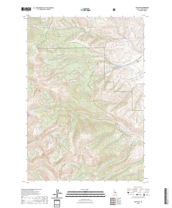
2024 Map of Lem Peak
USGS Topo · Published 2024About this map
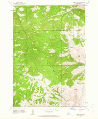
Lem Peak towers as the namesake landmark of this high-elevation region within the Salmon National Forest. The landscape is defined by the sharp topography of the Lemhi Range, where drainage patterns create a dense network of mountain streams including Trail Creek, Basin Creek, and Bear Valley Creek. A complex system of forest routes, such as Basin Creek Rd and the Hayden Creek Loop, provides access to remote high-country features like Basin Lake and Buck Lakes. This map records the modern administrative and natural state of the wilderness, including the clear transition between the deep canyons and the broader Hayden Basin. The land survey grid and forest service trails illustrate how the interior of Idaho is managed for both preservation and recreational access.
Find a feature on this map
45 named features on this map. Tap any name to fly to it.
Don’t see what you’re looking for? This feature index may not catch every label — zoom into the map to look around manually.
Map Details
Editions of this 2024 Lem Peak Map
This is the sole edition of this map. No revisions or reprints were ever made.
Other maps of this area

1955 · Dubois
USGS Topo · 1:250,000

1956 · Patterson
USGS Topo · 1:62,500

1956 · May
USGS Topo · 1:62,500

1956 · Lemhi
USGS Topo · 1:62,500

1958 · Dubois
USGS Topo · 1:250,000
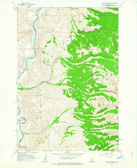
1962 · Allison Creek
USGS Topo · 1:24,000
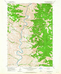
1962 · Goldbug Ridge
USGS Topo · 1:24,000
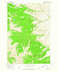
1962 · Lem Peak
USGS Topo · 1:24,000
1962 · Poison Peak
USGS Topo · 1:24,000

1980 · Leadore
USGS Topo · 1:100,000