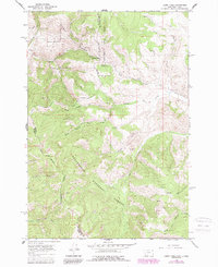
1965 Map of Lemhi Pass
USGS Topo · Published 1989About this map
Lemhi Pass marks the high-altitude boundary between Idaho and Montana, bisecting the Salmon National Forest and Beaverhead National Forest along the Continental Divide. This 1965 survey, updated through 1984, documents a landscape shaped by early Western migration and natural resource extraction. The northern portion of the map features the Sacajawea Memorial Camp, a significant commemorative site at the divide.
Find a feature on this map
28 named features on this map. Tap any name to fly to it.
Don’t see what you’re looking for? This feature index may not catch every label — zoom into the map to look around manually.
Map Details
Editions of this 1965 Lemhi Pass Map
3 editions found
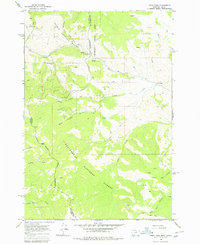
Other maps of this area

1955 · Dubois
USGS Topo · 1:250,000

1955 · Dillon
USGS Topo · 1:250,000

1956 · Goldstone Mtn
USGS Topo · 1:62,500

1956 · Lemhi
USGS Topo · 1:62,500

1957 · Dillon
USGS Topo · 1:250,000

1958 · Dubois
USGS Topo · 1:250,000

1958 · Dillon
USGS Topo · 1:250,000

1962 · Dillon
USGS Topo · 1:250,000

1965 · Dillon
USGS Topo · 1:250,000

1965 · Lemhi Pass
USGS Topo · 1:24,000