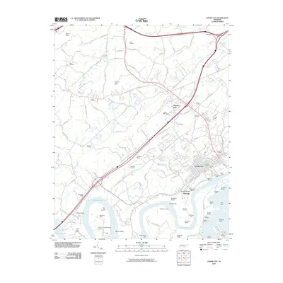
2010 Map of Lenoir City
USGS Topo · Published 2010About this map
Lenoir City serves as the industrial and residential hub of this Tennessee landscape, situated where the Clinch River meets the expansive Watts Bar Lake. The town's historic commercial core is evidenced by the Lenoir City Post Office and the Lenoir Mill, while the Norfolk Southern railroad line underscores the area's long-standing connection to regional trade. Water management and infrastructure define the southern reaches, where the Tellico Dam and a series of structures like Saddle Dam 1 and Saddle Dam 2 control the river's flow around Bussell Island and Harrison Island.
Find a feature on this map
120 named features on this map. Tap any name to fly to it.
Don’t see what you’re looking for? This feature index may not catch every label — zoom into the map to look around manually.
Map Details
Editions of this 2010 Lenoir City Map
This is the sole edition of this map. No revisions or reprints were ever made.
Other maps of this area

1895 · Loudon
USGS Topo · 1:125,000

1935 · Meadow
USGS Topo · 1:24,000

1935 · Lenoir City
USGS Topo · 1:24,000

1935 · Elverton
USGS Topo · 1:24,000

1935 · Bethel Valley
USGS Topo · 1:24,000

1935 · Philadelphia
USGS Topo · 1:24,000

1935 · Lovell
USGS Topo · 1:24,000

1936 · Cave Creek
USGS Topo · 1:24,000

1936 · Friendship
USGS Topo · 1:48,000

1936 · Loudon
USGS Topo · 1:24,000