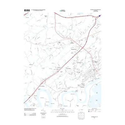
2013 Map of Lenoir City
USGS Topo · Published 2013About this map
Lenoir City serves as the focal point of this Tennessee riverfront landscape, where the waters of Watts Bar Lake and Tellico Lake converge. The urban grid is dense near the shoreline, featuring the Lenoir Mill and the historic Lenoirs Shoals alongside active river infrastructure like Thurmans Dock. North of the city, the terrain is defined by a series of ridges, including Chestnut Ridge and Little Mountain, which separate the river valley from smaller settlements such as Eaton Crossroads and Pawpaw Plains. The map reveals a transition from the consolidated town center to a pastoral landscape dotted with small family airstrips, including the Will A Hildreth Farm Airport and Cox Farm Airport. Numerous islands and bends along the Tennessee River, such as Bussell Island and Harrison Island, highlight the region's complex hydrology and historical reliance on river transport.
Find a feature on this map
66 named features on this map. Tap any name to fly to it.
Don’t see what you’re looking for? This feature index may not catch every label — zoom into the map to look around manually.
Map Details
Editions of this 2013 Lenoir City Map
This is the sole edition of this map. No revisions or reprints were ever made.
Other maps of this area

1895 · Loudon
USGS Topo · 1:125,000

1935 · Meadow
USGS Topo · 1:24,000

1935 · Lenoir City
USGS Topo · 1:24,000

1935 · Elverton
USGS Topo · 1:24,000

1935 · Bethel Valley
USGS Topo · 1:24,000

1935 · Philadelphia
USGS Topo · 1:24,000

1935 · Lovell
USGS Topo · 1:24,000

1936 · Cave Creek
USGS Topo · 1:24,000

1936 · Friendship
USGS Topo · 1:48,000

1936 · Loudon
USGS Topo · 1:24,000