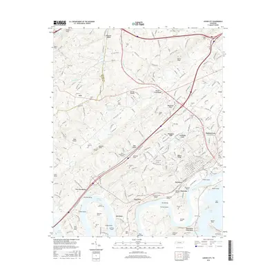
2016 Map of Lenoir City
USGS Topo · Published 2016About this map
Loudon and Lenoir City anchor this landscape at the confluence of major Tennessee waterways, where the Tennessee River is defined by Watts Bar Lake and Tellico Lake. The map reveals a complex aquatic geography of river bends and islands, including Bussell Island and Jackson Bend, which sit just below the massive infrastructure of the modern canal system. Inland, the terrain is marked by a high density of family and community burial grounds such as Babb Cem, Pickel Cem, and the Potters Field Cem, providing significant data for genealogical research.
Find a feature on this map
87 named features on this map. Tap any name to fly to it.
Don’t see what you’re looking for? This feature index may not catch every label — zoom into the map to look around manually.
Map Details
Editions of this 2016 Lenoir City Map
This is the sole edition of this map. No revisions or reprints were ever made.
Other maps of this area

1895 · Loudon
USGS Topo · 1:125,000

1935 · Meadow
USGS Topo · 1:24,000

1935 · Lenoir City
USGS Topo · 1:24,000

1935 · Elverton
USGS Topo · 1:24,000

1935 · Bethel Valley
USGS Topo · 1:24,000

1935 · Philadelphia
USGS Topo · 1:24,000

1935 · Lovell
USGS Topo · 1:24,000

1936 · Cave Creek
USGS Topo · 1:24,000

1936 · Friendship
USGS Topo · 1:48,000

1936 · Loudon
USGS Topo · 1:24,000