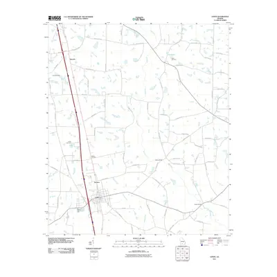
2011 Map of Lenox
USGS Topo · Published 2011About this map
Lenox and the nearby community of Staunton anchor this South Georgia landscape, where agricultural land is partitioned by an extensive network of county roads and drainage systems. The terrain is defined by the slow-moving waters of the New River and several significant tributaries, including Reedy Creek, Brushy Creek, and Rock Branch. This 2011 survey reveals a rural economy centered on managed water resources, evidenced by the numerous impoundments such as Hand Lake, Griffin Lake, and Betts Lake, each with its associated dam. Local history is preserved at the Rutland Cemetery and Mathis Cemetery, while traditional crossing points like Hesters Bridge and Brown Bridge indicate long-established travel routes through the creek bottoms. The map illustrates the close relationship between the town of Lenox and the primary north-south transportation corridor that bisects the region.
Find a feature on this map
73 named features on this map. Tap any name to fly to it.
Don’t see what you’re looking for? This feature index may not catch every label — zoom into the map to look around manually.
Map Details
Editions of this 2011 Lenox Map
This is the sole edition of this map. No revisions or reprints were ever made.
Other maps of this area

1953 · Waycross
USGS Topo · 1:250,000

1958 · Waycross
USGS Topo · 1:250,000

1973 · Adel
USGS Topo · 1:24,000

1973 · Sapps Lake
USGS Topo · 1:24,000

1973 · Nashville West
USGS Topo · 1:24,000

1973 · Enigma
USGS Topo · 1:24,000

1973 · Lenox
USGS Topo · 1:24,000

1973 · Tifton East
USGS Topo · 1:24,000

1973 · Tifton West
USGS Topo · 1:24,000

1973 · Omega
USGS Topo · 1:24,000