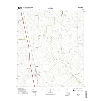
2017 Map of Lenox
USGS Topo · Published 2017About this map
The town of Lenox serves as a focal point in this south Georgia landscape, situated along a transportation corridor that includes Staunton and Eldorado. The terrain is defined by a dense network of black-water drainages, including the New River and its numerous tributaries such as Reedy Cr, Brushy Cr, and Rock Br. These watercourses create a complex hydrological pattern, punctuated by significant water bodies like Betts Lake, Griffin Lake, and Hand Lake.
Find a feature on this map
122 named features on this map. Tap any name to fly to it.
Don’t see what you’re looking for? This feature index may not catch every label — zoom into the map to look around manually.
Map Details
Editions of this 2017 Lenox Map
This is the sole edition of this map. No revisions or reprints were ever made.
Other maps of this area

1953 · Waycross
USGS Topo · 1:250,000

1958 · Waycross
USGS Topo · 1:250,000

1973 · Adel
USGS Topo · 1:24,000

1973 · Sapps Lake
USGS Topo · 1:24,000

1973 · Nashville West
USGS Topo · 1:24,000

1973 · Enigma
USGS Topo · 1:24,000

1973 · Lenox
USGS Topo · 1:24,000

1973 · Tifton East
USGS Topo · 1:24,000

1973 · Tifton West
USGS Topo · 1:24,000

1973 · Omega
USGS Topo · 1:24,000