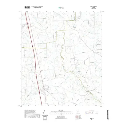
2020 Map of Lenox
USGS Topo · Published 2020About this map
The town of Lenox serves as a central hub in this Southern Georgia landscape, positioned where major transit corridors intersect with a network of local roads such as Daughtrey Rutland and Rutland Bridge Rd. This 2020 map documents a region defined by its hydrological systems, notably the New River and the winding course of Reedy Creek and Brushy Creek. Smaller settlements like Staunton and Eldorado are connected by these waterways and a series of family-named roads, illustrating a rural community structure that has persisted for generations. For local historians and genealogists, the map identifies key landmarks including Oaky Grove Cem, Mathis Cem, and Rutland Cem. The varied terrain is further punctuated by local water bodies like Hand Lake, Griffin Lake, and Betts Lake, which have likely shaped the agricultural and residential development of Cook County and neighboring Tift County and Berrien County.
Find a feature on this map
112 named features on this map. Tap any name to fly to it.
Don’t see what you’re looking for? This feature index may not catch every label — zoom into the map to look around manually.
Map Details
Editions of this 2020 Lenox Map
This is the sole edition of this map. No revisions or reprints were ever made.
Other maps of this area

1953 · Waycross
USGS Topo · 1:250,000

1958 · Waycross
USGS Topo · 1:250,000

1973 · Adel
USGS Topo · 1:24,000

1973 · Sapps Lake
USGS Topo · 1:24,000

1973 · Nashville West
USGS Topo · 1:24,000

1973 · Enigma
USGS Topo · 1:24,000

1973 · Lenox
USGS Topo · 1:24,000

1973 · Tifton East
USGS Topo · 1:24,000

1973 · Tifton West
USGS Topo · 1:24,000

1973 · Omega
USGS Topo · 1:24,000