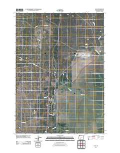
2011 Map of Lenz
USGS Topo · Published 2011About this map
Lenz and its eponymous ranching and rail infrastructure define this portion of the Klamath County plateau. The landscape is marked by the presence of Lenz Ranch and the linear path of Lenz Siding Rd, indicating the historical significance of rail transport and livestock in this high-elevation region. The terrain transitions toward the Antelope Desert in the west, while water resources are concentrated in a network of springs and creeks, most notably Big Springs and Big Springs Creek.
Find a feature on this map
21 named features on this map. Tap any name to fly to it.
Don’t see what you’re looking for? This feature index may not catch every label — zoom into the map to look around manually.
Map Details
Editions of this 2011 Lenz Map
This is the sole edition of this map. No revisions or reprints were ever made.
Other maps of this area

1889 · Klamath
USGS Topo · 1:250,000

1894 · Klamath
USGS Topo · 1:250,000

1935 · Chemult
USGS Topo · 1:96,000

1941 · Chemult
USGS Topo · 1:125,000

1955 · Crescent
USGS Topo · 1:250,000

1955 · Klamath Falls
USGS Topo · 1:250,000

1957 · Crescent
USGS Topo · 1:250,000

1957 · Klamath Marsh
USGS Topo · 1:62,500

1957 · Lenz
USGS Topo · 1:62,500

1958 · Crescent
USGS Topo · 1:250,000