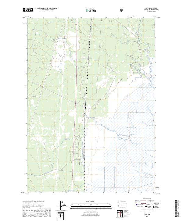
2023 Map of Lenz
USGS Topo · Published 2023About this map
Klamath Marsh National Wildlife Refuge dominates the eastern and southern portions of this landscape, where a complex network of wetlands and seasonal waterways defines the hydrology of Klamath County. The transition from the aquatic environment of the marsh to the arid Antelope Desert in the west illustrates the sharp ecological gradients found in this region. Numerous water sources feed the wetland ecosystem, including the perennial flow from Big Springs and the meandering paths of Lenz Creek and Silent Creek. This 2023 survey provides a clear view of the modern boundaries and water management within the refuge, highlighting the importance of Scott Creek and Cow Creek in sustaining the local habitat. The map also traces the section lines of the Public Land Survey System, such as t30s r7e and t31s r8e, which provide essential context for land ownership and conservation management.
Find a feature on this map
13 named features on this map. Tap any name to fly to it.
Don’t see what you’re looking for? This feature index may not catch every label — zoom into the map to look around manually.
Map Details
Editions of this 2023 Lenz Map
This is the sole edition of this map. No revisions or reprints were ever made.
Other maps of this area

1889 · Klamath
USGS Topo · 1:250,000

1894 · Klamath
USGS Topo · 1:250,000

1935 · Chemult
USGS Topo · 1:96,000

1941 · Chemult
USGS Topo · 1:125,000

1955 · Crescent
USGS Topo · 1:250,000

1955 · Klamath Falls
USGS Topo · 1:250,000

1957 · Crescent
USGS Topo · 1:250,000

1957 · Klamath Marsh
USGS Topo · 1:62,500

1957 · Lenz
USGS Topo · 1:62,500

1958 · Crescent
USGS Topo · 1:250,000