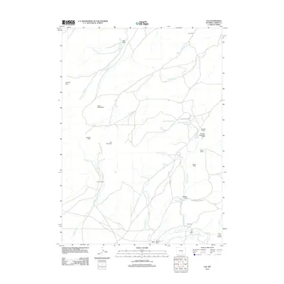
2012 Map of Leo
USGS Topo · Published 2012About this map
The high-desert ranching landscape of Carbon County is anchored by the small settlement of Leo, situated at the southern end of this 2012 survey. This terrain is defined by its drainage systems and isolated peaks, where Gooseberry Cr and Iron Springs Cr wind through the valley floor beneath the Pedro Mountains. The map reveals a specialized cattle-country infrastructure, marking established homesteads like Peters Ranch, Indian Grove Ranch, and Irene Ranch.
Find a feature on this map
30 named features on this map. Tap any name to fly to it.
Don’t see what you’re looking for? This feature index may not catch every label — zoom into the map to look around manually.
Map Details
Editions of this 2012 Leo Map
This is the sole edition of this map. No revisions or reprints were ever made.
Other maps of this area

1951 · Pathfinder Reservoir NW
USGS Topo · 1:24,000

1951 · Bear Spring
USGS Topo · 1:24,000

1951 · Pathfinder Dam
USGS Topo · 1:24,000

1953 · Leo
USGS Topo · 1:24,000

1953 · Seminoe Dam NE
USGS Topo · 1:24,000

1953 · Seminoe Dam
USGS Topo · 1:24,000

1953 · Pathfinder Reservoir SW
USGS Topo · 1:24,000

1953 · Fourmile Ridge
USGS Topo · 1:24,000

1953 · Beaver Creek
USGS Topo · 1:24,000

1955 · Casper
USGS Topo · 1:250,000