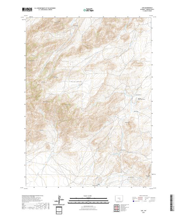
2021 Map of Leo
USGS Topo · Published 2021About this map
The settlement of Leo sits at the southern edge of this high-elevation landscape, where the rugged Pedro Mountains meet a complex network of dry draws and seasonal creeks. The terrain is defined by prominent geological landmarks, including the sharp rise of Pyramid Peak and the distinctive formations of The Chimneys. Water management in this arid environment is evidenced by the Irene Number 2 Reservoir and the presence of Iron Springs, which provide critical points of interest for those studying the agricultural and ranching history of the region.
Find a feature on this map
35 named features on this map. Tap any name to fly to it.
Don’t see what you’re looking for? This feature index may not catch every label — zoom into the map to look around manually.
Map Details
Editions of this 2021 Leo Map
This is the sole edition of this map. No revisions or reprints were ever made.
Other maps of this area

1951 · Pathfinder Reservoir NW
USGS Topo · 1:24,000

1951 · Bear Spring
USGS Topo · 1:24,000

1951 · Pathfinder Dam
USGS Topo · 1:24,000

1953 · Leo
USGS Topo · 1:24,000

1953 · Seminoe Dam NE
USGS Topo · 1:24,000

1953 · Seminoe Dam
USGS Topo · 1:24,000

1953 · Pathfinder Reservoir SW
USGS Topo · 1:24,000

1953 · Fourmile Ridge
USGS Topo · 1:24,000

1953 · Beaver Creek
USGS Topo · 1:24,000

1955 · Casper
USGS Topo · 1:250,000