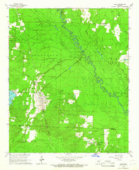
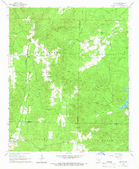
1965 Map of Leola
USGS Topo · Published 1966About this map
The Chicago Rock Island And Pacific railroad cuts a diagonal line through the heart of the central Arkansas timberlands, serving the established settlement of Leola. This mid-1960s landscape is defined by the winding course of the Saline River, which meanders through the eastern half of the region, creating a complex network of wetlands such as Moores Slough and Moores Lake. Small communities and family-named landmarks are scattered across the survey, including the northern rail stop at Thiel and the southern hamlet of Cooney. Genealogy and local history researchers will find numerous rural sites documented here, from Moores Chapel and Hopewell Ch to several burial grounds like Taylor Cem and Crowder Cem. The western edge of the area is notable for Cox Creek Lake, while various Gravel Pit operations indicate the local extractive industry of the era.
Find a feature on this map
29 named features on this map. Tap any name to fly to it.
Don’t see what you’re looking for? This feature index may not catch every label — zoom into the map to look around manually.
Map Details
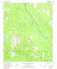
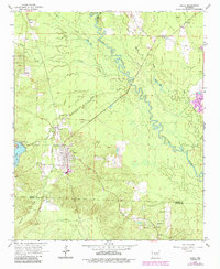
Editions of this 1965 Leola Map
3 editions found
Other maps of this area

1955 · Little Rock
USGS Topo · 1:250,000

1956 · Little Rock
USGS Topo · 1:250,000

1960 · Little Rock
USGS Topo · 1:250,000

1963 · Prattsville
USGS Topo · 1:24,000

1964 · Poyen
USGS Topo · 1:24,000

1964 · Little Rock
USGS Topo · 1:250,000

1964 · Sheridan
USGS Topo · 1:24,000

1964 · Bunn
USGS Topo · 1:24,000
1964 · Millerville
USGS Topo · 1:24,000
1965 · Willow
USGS Topo · 1:24,000