
2022 Map of Leon North
USGS Topo · Published 2022About this map
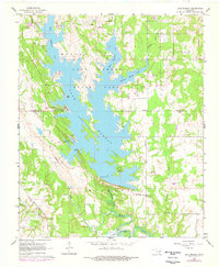
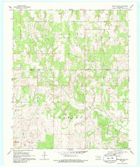
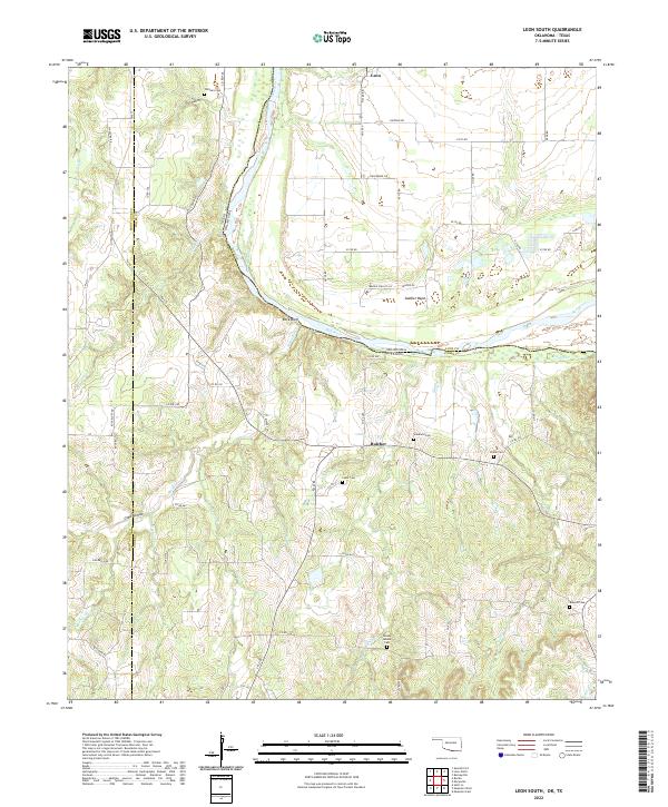
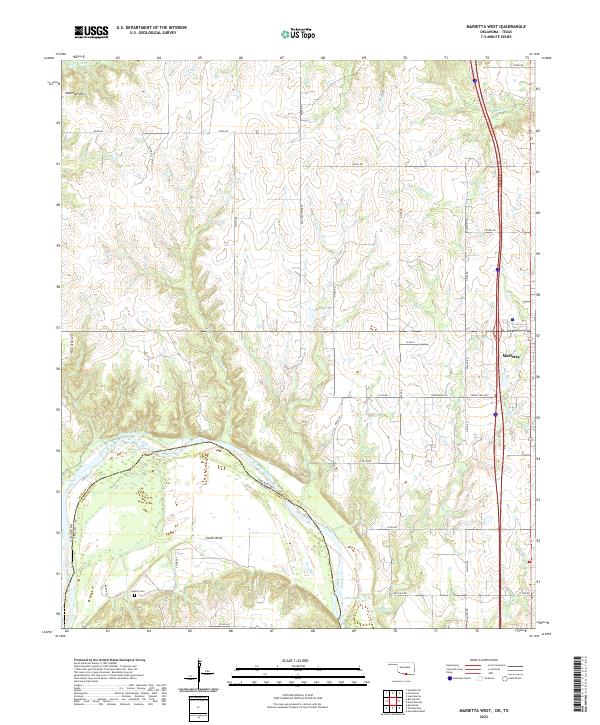
The Red River defines the southern boundary of this borderlands region, where Oklahoma and Texas meet at the junction of Love, Montague, and Cooke counties. The settlement of Leon sits near the riverbanks in the southeast, anchored by Leon Cem and a grid of local streets like Church St and College Ave. To the north, the small community of Rubottom and its associated Rubottom Cem reside amidst a landscape carved by Mud Creek and Coffeepot Cr. Across the state line in Texas, the community of Illinois Bend and the Illinois Bend Cem occupy a prominent meander of the river. This survey captures a rural landscape still defined by family-named infrastructure, such as Bill Blankenship Rd and Kimbell Ranch Rd, illustrating the persistent agricultural and ranching character of the Red River Valley.
Find a feature on this map
50 named features on this map. Tap any name to fly to it.
Don’t see what you’re looking for? This feature index may not catch every label — zoom into the map to look around manually.
Map Details
Editions of this 2022 Leon North Map
This is the sole edition of this map. No revisions or reprints were ever made.
Historical Maps of Illinois Bend Through Time
15 maps found
1964 Lake Murray
Love County, OK
1964 Overbrook
Love County, OK
1967 Marietta East
Love County, OK
1968 Leon North
Love County, OK
1968 Marietta West
Love County, OK
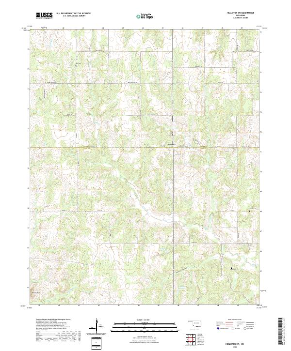
1969 Healdton SE
Love County, OK
1969 Healdton SW
Love County, OK
2022 Healdton SE
Love County, OK
2022 Healdton SW
Love County, OK
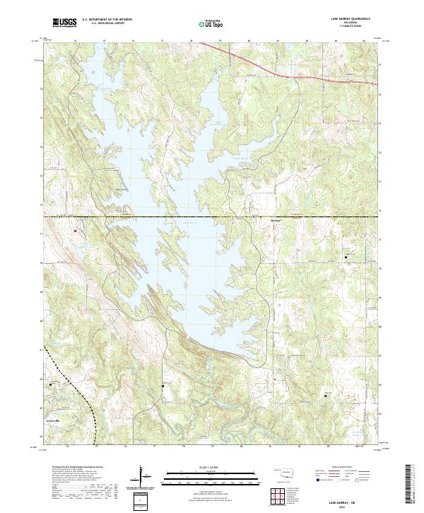
2022 Lake Murray
Love County, OK
2022 Leon North
Love County, OK
2022 Leon South
Love County, OK
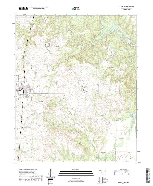
2022 Marietta East
Love County, OK
2022 Marietta West
Love County, OK
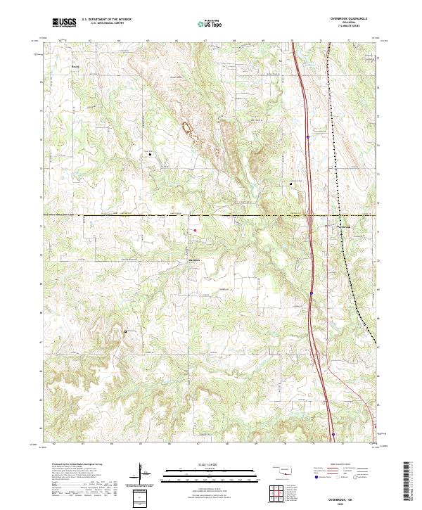
2022 Overbrook
Love County, OK