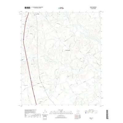
2019 Map of Leona
USGS Topo · Published 2019About this map
Centerville and Leona anchor the western corridor of this Leon County landscape, where the Interstate 45 corridor cuts a straight line through the rolling woodlands of east-central Texas. The map reveals a dense network of family and historic burial sites, including the Culton Cem, Woodward Cem, and Durst Cem, which serve as vital markers for genealogical research in this rural region. The terrain is defined by a dendritic drainage pattern of creeks such as Lower Keechi Cr, Beaver Cr, and Mustang Cr that meander through the countryside.
Find a feature on this map
77 named features on this map. Tap any name to fly to it.
Don’t see what you’re looking for? This feature index may not catch every label — zoom into the map to look around manually.
Map Details
Editions of this 2019 Leona Map
This is the sole edition of this map. No revisions or reprints were ever made.
Other maps of this area

1953 · Palestine
USGS Topo · 1:250,000

1954 · Waco
USGS Topo · 1:250,000

1955 · Waco
USGS Topo · 1:250,000

1956 · Jewett
USGS Topo · 1:62,500

1957 · Palestine
USGS Topo · 1:250,000

1964 · Centerville
USGS Topo · 1:24,000

1964 · Spring Seat
USGS Topo · 1:24,000

1964 · Eunice
USGS Topo · 1:24,000

1964 · Middleton
USGS Topo · 1:24,000

1964 · Leona
USGS Topo · 1:24,000