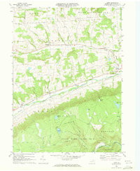
1969 Map of Leroy
USGS Topo · Published 1973About this map
Towanda Creek and its tributary North Branch dictate the settlement patterns of this central Bradford County landscape, carving valleys where small villages like Leroy and West Leroy take root. The northern half of the region is characterized by established rural crossroads such as Granville Center, Bailey Corners, and Sayees Corners, connected by a network of local roads and a significant Pipeline corridor.
Find a feature on this map
39 named features on this map. Tap any name to fly to it.
Don’t see what you’re looking for? This feature index may not catch every label — zoom into the map to look around manually.
Map Details
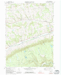
Editions of this 1969 Leroy Map
2 editions found
Other maps of this area

1931 · Troy
USGS Topo · 1:48,000

1938 · Troy
USGS Topo · 1:62,500

1939 · Sayre
USGS Topo · 1:62,500

1942 · Sayre
USGS Topo · 1:62,500

1942 · Canton
USGS Topo · 1:62,500

1943 · Powell
USGS Topo · 1:62,500

1944 · Canton
USGS Topo · 1:62,500

1945 · Powell
USGS Topo · 1:62,500

1948 · Sayre
USGS Topo · 1:62,500

1954 · Williamsport
USGS Topo · 1:250,000
Featured Places
- West Burlington Township, PA
- Leroy Township, PA
- Overton Township, PA
- West Leroy, Leroy Township
- Vroman Hill, West Burlington Township