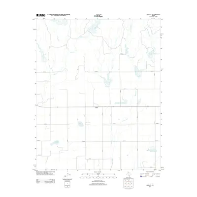
2013 Map of Lesley
USGS Topo · Published 2013About this map
The unincorporated community of Lesley serves as the central landmark for this Hall County survey, situated where a local highway intersects a grid of county roads. The landscape is defined by the drainage networks of several prominent creeks, including E Bitter Cr and W Bitter Cr to the north, and the branching reaches of Polecat Cr. A series of water management projects are evident across the terrain, notably the Soil Conservation Service Site Number 102 Reservoir and Soil Conservation Service Site 107 Reservoir. These reservoirs, alongside Hancock Lake and Finger Lake, indicate a region heavily involved in water conservation and agricultural management. The map also traces the distinct paths of Big John Mann Cr and its tributaries, reflecting the natural erosion patterns of the Texas Panhandle.
Find a feature on this map
29 named features on this map. Tap any name to fly to it.
Don’t see what you’re looking for? This feature index may not catch every label — zoom into the map to look around manually.
Map Details
Editions of this 2013 Lesley Map
This is the sole edition of this map. No revisions or reprints were ever made.
Other maps of this area

1954 · Plainview
USGS Topo · 1:250,000

1958 · Plainview
USGS Topo · 1:250,000

1960 · Brice
USGS Topo · 1:62,500

1961 · Memphis
USGS Topo · 1:62,500

1963 · Hedley
USGS Topo · 1:24,000

1963 · Clarendon SE
USGS Topo · 1:24,000

1963 · Clarendon SW
USGS Topo · 1:24,000

1976 · Brice SE
USGS Topo · 1:24,000

1976 · Brice NW
USGS Topo · 1:24,000

1976 · Memphis NW
USGS Topo · 1:24,000