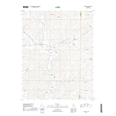
2017 Map of Lesterville
USGS Topo · Published 2017About this map
The Black River valley and its surrounding tributaries form the geographic heart of this Reynolds and Iron County border region. Lesterville serves as the primary settlement hub where the East Fork Black River and Middle Fork Black River converge, a critical point for local transport and early development. The terrain is defined by the steep rises of the Saint Francois Mountains, with prominent peaks like Johnston Mtn and Vickery Mtn looming over deep hollows.
Find a feature on this map
73 named features on this map. Tap any name to fly to it.
Don’t see what you’re looking for? This feature index may not catch every label — zoom into the map to look around manually.
Map Details
Editions of this 2017 Lesterville Map
This is the sole edition of this map. No revisions or reprints were ever made.
Other maps of this area

1924 · Edgehill
USGS Topo · 1:62,500

1926 · Edgehill
USGS Topo · 1:62,500

1926 · Des Arc
USGS Topo · 1:62,500

1929 · Des Arc
USGS Topo · 1:62,500

1937 · Ironton
USGS Topo · 1:48,000

1943 · Lesterville
USGS Topo · 1:62,500

1945 · Ironton
USGS Topo · 1:62,500

1946 · Lesterville
USGS Topo · 1:62,500

1946 · Ironton
USGS Topo · 1:62,500

1949 · Rolla
USGS Topo · 1:250,000