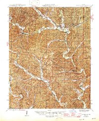
1946 Map of Lesterville
USGS Topo · Published 1946About this map
The Black River watershed dominates this mid-1940s landscape, where the Middle Fork, East Fork, and West Fork converge near the town of Lesterville. The settlement pattern follows the narrow valley floors and hollows between steep Ozark ridges, anchored by local centers like Centerville and Redford. The agrarian and timber-based economy of the era is evident in the high density of rural schoolhouses and family cemeteries tucked into the side drainages, such as Peola Sch and the Howell Cem.
Find a feature on this map
79 named features on this map. Tap any name to fly to it.
Don’t see what you’re looking for? This feature index may not catch every label — zoom into the map to look around manually.
Map Details
Editions of this 1946 Lesterville Map
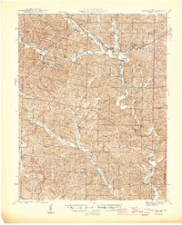
2 editions found
Other maps of this area
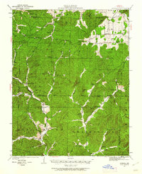
1924 · Edgehill
USGS Topo · 1:62,500
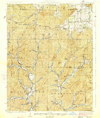
1926 · Edgehill
USGS Topo · 1:62,500
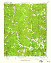
1926 · Des Arc
USGS Topo · 1:62,500
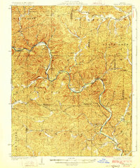
1928 · Cardareva
USGS Topo · 1:62,500
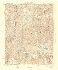
1929 · Des Arc
USGS Topo · 1:62,500
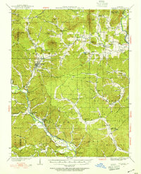
1932 · Piedmont
USGS Topo · 1:62,500
1935 · Piedmont
USGS Topo · 1:62,500
1937 · Ironton
USGS Topo · 1:48,000
1943 · Ellington
USGS Topo · 1:62,500
1943 · Lesterville
USGS Topo · 1:62,500