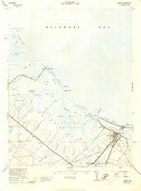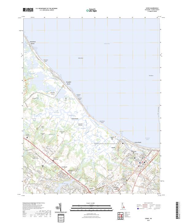
1980 Map of Lewes
USGS Topo · Published 1982About this map
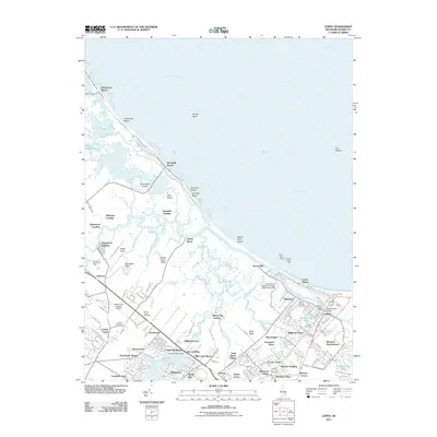
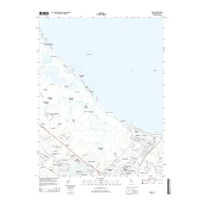
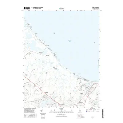
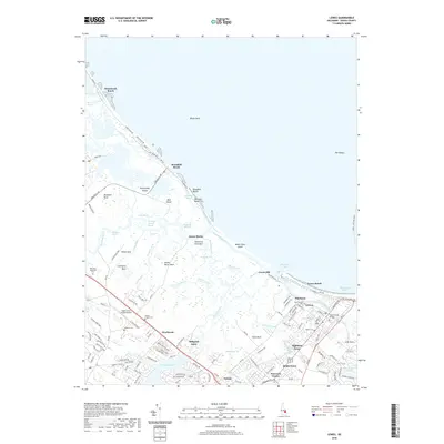
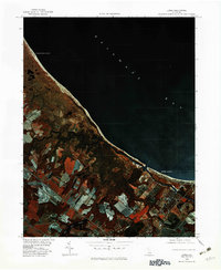
The coastal marshes and barrier beaches of Delaware's Sussex County are captured here through color infrared aerial photography, revealing the intricate hydrology of the shoreline in the early 1980s. Primehook Beach and Broadkill Beach stand out as linear developments nestled between the Delaware Bay and the extensive wetlands of the Primehook area. The deep red tones of the infrared imagery distinguish dense vegetation from the winding, dark ribbons of the Broadkill River and Primehook Creek. Further inland, the transition from marsh to agricultural field is marked by the presence of Red Mill Pond and Old Mill Creek. At the southern edge of the survey, the developed streets of Lewes and Lewes Beach contrast sharply with the surrounding natural drainage patterns, providing a detailed look at the town's relationship with its waterfront during this period.
Find a feature on this map
12 named features on this map. Tap any name to fly to it.
Don’t see what you’re looking for? This feature index may not catch every label — zoom into the map to look around manually.
Map Details
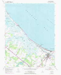
Editions of this 1980 Lewes Map
This is the sole edition of this map. No revisions or reprints were ever made.
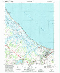
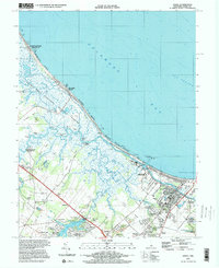
Historical Maps of Lewes Through Time
10 maps found