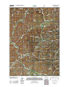
2011 Map of Lewis Creek
USGS Topo · Published 2011About this map
The South Fork John Day River winds through this central Oregon landscape, defining a rugged drainage system filled with family ranching operations. Numerous historic holdings are documented across the terrain, including Rickman Ranch near the Rickman Reservoir and the Wallace Ranch with its associated Wallace Ranch Airstrip. The geography is shaped by prominent heights like Buck Mountain and Sand Mountain, while smaller features such as Blackhorse Butte and Badley Gulch mark the local topography. This 2011 survey illustrates how modern infrastructure, such as County Hwy 63, follows the natural contours of the river valley, connecting remote outposts like the Officer Ranch and Bush Ranch to the broader region of Grant County. Essential water sources, including Sulphur Spring and Officer Spring, remain vital landmarks in this high-desert ranching country.
Find a feature on this map
45 named features on this map. Tap any name to fly to it.
Don’t see what you’re looking for? This feature index may not catch every label — zoom into the map to look around manually.
Map Details
Editions of this 2011 Lewis Creek Map
This is the sole edition of this map. No revisions or reprints were ever made.
Other maps of this area

1955 · Burns
USGS Topo · 1:250,000

1955 · Canyon City
USGS Topo · 1:250,000

1958 · Burns
USGS Topo · 1:250,000

1959 · Burns
USGS Topo · 1:250,000

1959 · Canyon City
USGS Topo · 1:250,000

1959 · West Myrtle Butte
USGS Topo · 1:62,500

1959 · Sawtooth Creek
USGS Topo · 1:62,500

1961 · Logdell
USGS Topo · 1:62,500

1961 · Izee
USGS Topo · 1:62,500

1981 · Dayville
USGS Topo · 1:100,000