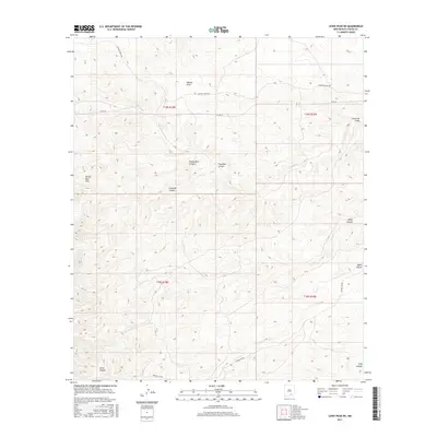
2017 Map of Lewis Peak NE
USGS Topo · Published 2017About this map
Pretty Bird Hills dominate the western portion of this Chaves County landscape, where deep drainages like Pretty Bird Canyon and Crooked Canyon cut through the high desert terrain. The area is defined by a series of significant draws and canyons, including the extensive Fourmile Draw and Walnut Draw in the north, and Bullis Canyon to the southeast. A sparse network of ranching roads, such as Cauhape Ranch Rd and Russel Gap Rd, provides the only modern access through these township sections. The map detail reflects a classic New Mexico landscape where water flow, however intermittent, has carved the primary landmarks of the region, from the winding path of Horse Canyon to the southern reaches of Long Canyon.
Find a feature on this map
16 named features on this map. Tap any name to fly to it.
Don’t see what you’re looking for? This feature index may not catch every label — zoom into the map to look around manually.
Map Details
Editions of this 2017 Lewis Peak NE Map
This is the sole edition of this map. No revisions or reprints were ever made.
Other maps of this area

1954 · Carlsbad
USGS Topo · 1:250,000

1958 · Carlsbad
USGS Topo · 1:250,000

1960 · Teel Ranch
USGS Topo · 1:62,500

1962 · Dunken
USGS Topo · 1:62,500

1965 · Lewis Peak NE
USGS Topo · 1:24,000

1965 · Lewis Peak
USGS Topo · 1:24,000

1965 · Bullis Spring Ranch
USGS Topo · 1:24,000

1965 · Pinon Ranch
USGS Topo · 1:24,000

1978 · Encino Draw
USGS Topo · 1:24,000

1978 · Artesia
USGS Topo · 1:100,000