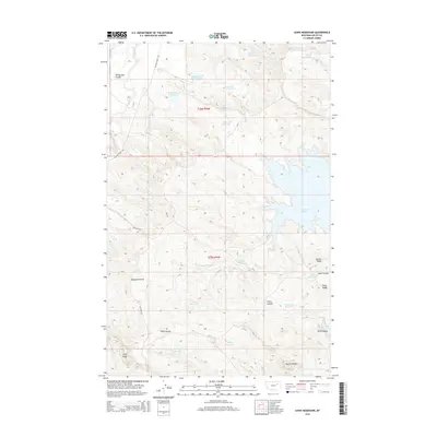
2014 Map of Lewis Reservoir
USGS Topo · Published 2014About this map
Fort Peck Lake defines the eastern boundary of this high-plains landscape, where the Missouri River's impoundment creates a complex, branching shoreline. The terrain is characterized by a dense network of coulees and ridges, including Wilderness Coulee and Bomber Coulee, which drain into the larger lake system. This 2014 survey illustrates an arid environment managed through an extensive series of small-scale water projects, with reservoirs like Lewis Reservoir, Vic Reservoir, and the uniquely named Lost McMehomey Reservoir scattered across the township lines of t26n r39e and t25n r39e.
Find a feature on this map
31 named features on this map. Tap any name to fly to it.
Don’t see what you’re looking for? This feature index may not catch every label — zoom into the map to look around manually.
Map Details
Editions of this 2014 Lewis Reservoir Map
This is the sole edition of this map. No revisions or reprints were ever made.
Other maps of this area

1943 · Glasgow
USGS Topo · 1:125,000

1954 · Jordan
USGS Topo · 1:250,000

1954 · Glasgow
USGS Topo · 1:250,000

1956 · Jordan
USGS Topo · 1:250,000

1957 · Glasgow
USGS Topo · 1:250,000

1958 · Glasgow
USGS Topo · 1:250,000

1958 · Jordan
USGS Topo · 1:250,000

1958 · Miller Coulee
USGS Topo · 1:62,500

1958 · Collins Ranch
USGS Topo · 1:62,500

1958 · Lewis Reservoir
USGS Topo · 1:24,000