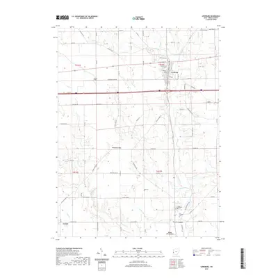
2019 Map of Lewisburg
USGS Topo · Published 2019About this map
Twin Creek and its many tributaries, including Price Creek and Bantas Fork, carve a dendritic drainage pattern across this Preble County landscape. The village of Lewisburg serves as a primary hub, organized around a traditional grid of streets like W Cumberland St and S Main St. Further south, the map documents the proximity of New Lexington and the northern edge of West Alexandria, connected by the winding course of Price Cr.
Find a feature on this map
79 named features on this map. Tap any name to fly to it.
Don’t see what you’re looking for? This feature index may not catch every label — zoom into the map to look around manually.
Map Details
Editions of this 2019 Lewisburg Map
This is the sole edition of this map. No revisions or reprints were ever made.
Other maps of this area

1905 · Brookville
USGS Topo · 1:62,500

1908 · Miamisburg
USGS Topo · 1:62,500

1911 · Oxford
USGS Topo · 1:62,500

1953 · Cincinnati
USGS Topo · 1:250,000

1957 · Cincinnati
USGS Topo · 1:250,000

1960 · New Madison
USGS Topo · 1:24,000
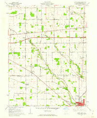
1960 · Eaton North
USGS Topo · 1:24,000

1960 · Farmersville
USGS Topo · 1:24,000
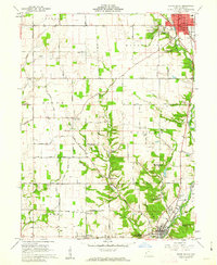
1960 · Eaton South
USGS Topo · 1:24,000

1961 · Laura
USGS Topo · 1:24,000