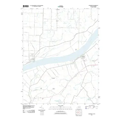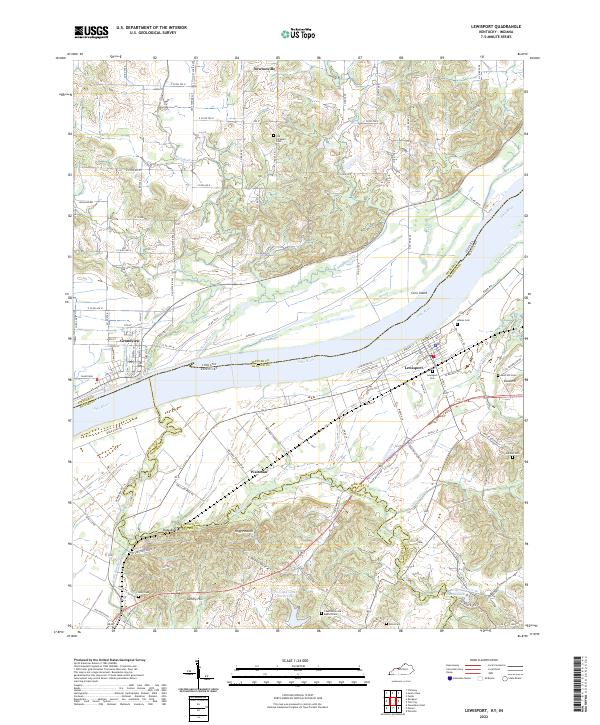
2022 Map of Lewisport
USGS Topo · Published 2022About this map
The Ohio River serves as the central artery and boundary between Spencer County, Indiana, and Hancock County, Kentucky, in this recent topographic study. The riverbank is anchored by the river towns of Grandview and Lewisport, connected by a landscape shaped by agricultural drainage and seasonal wetlands. Inland, the map reveals a high density of rural burial grounds, including the Old Sargeant Cem, Adams Cem, and Chestnut Grove Baptist Cem, which offer significant value for genealogical research. The terrain south of the river is defined by a network of creeks such as Blackford Cr and Little Blackford Cr, while the Indiana side features the northern reach of Newtonville. Distinctive local place names like Hogg Heaven and Waitman punctuate the rural transport network, which is organized around established routes like Co RD 600 N and the Waitman Station Loop.
Find a feature on this map
81 named features on this map. Tap any name to fly to it.
Don’t see what you’re looking for? This feature index may not catch every label — zoom into the map to look around manually.
Map Details
Editions of this 2022 Lewisport Map
This is the sole edition of this map. No revisions or reprints were ever made.
Historical Maps of Lewisport Through Time
8 maps found