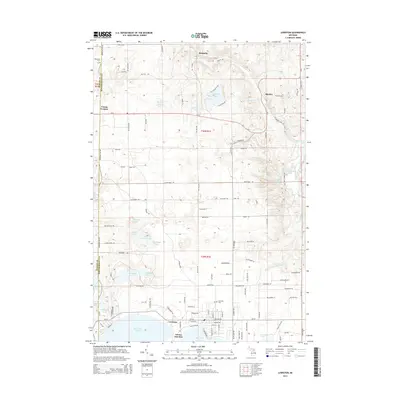
2014 Map of Lewiston
USGS Topo · Published 2014About this map
West Twin Lake and East Twin Lake anchor the southern portion of this landscape, where the settlement of Lewiston serves as a local hub. The area is defined by a dense concentration of glacial lakes and small water bodies, including Gaylanta Lake, McCormick Lake, and the winding Sheridan Creek. These features are interspersed with small unincorporated communities such as Donnelly, Bigelow, and Vienna Corners, suggesting a pattern of seasonal residence and rural commerce typical of northern Michigan.
Find a feature on this map
114 named features on this map. Tap any name to fly to it.
Don’t see what you’re looking for? This feature index may not catch every label — zoom into the map to look around manually.
Map Details
Editions of this 2014 Lewiston Map
This is the sole edition of this map. No revisions or reprints were ever made.
Other maps of this area

1949 · Lewiston
USGS Topo · 1:62,500

1950 · Lewiston
USGS Topo · 1:24,000

1950 · Comstock Hills
USGS Topo · 1:24,000

1950 · Johannesburg
USGS Topo · 1:24,000

1950 · Lovells
USGS Topo · 1:24,000

1951 · Comstock Hills
USGS Topo · 1:24,000

1951 · Lovells
USGS Topo · 1:24,000

1951 · Johannesburg
USGS Topo · 1:24,000

1951 · Lewiston
USGS Topo · 1:24,000

1954 · Hetherton
USGS Topo · 1:62,500