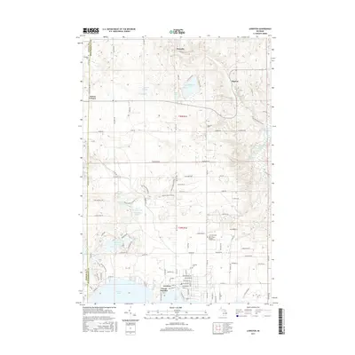
2017 Map of Lewiston
USGS Topo · Published 2017About this map
Lewiston serves as the primary hub of this northern Michigan landscape, situated on the northern shores of W Twin Lake and E Twin Lake. This 2017 survey shows a region defined by its glacial hydrology, featuring a dense cluster of water bodies including Gaylanta Lake, McCormick Lake, and the complex around Woodmere Lake and Kirtland Lake. The settlement pattern follows established section lines and county boundaries, with small nodes like Vienna Junction and Vienna Corners marking key intersections. Genealogy and local history researchers will find several dedicated sites, including the Lewiston Cem and Saint Francis of Assisi Catholic Cem, as well as the Charleston Cem located along the Otsego and Montmorency county line. The presence of the Buttles Road Pathway indicates the area's continued importance for local recreation and land management.
Find a feature on this map
94 named features on this map. Tap any name to fly to it.
Don’t see what you’re looking for? This feature index may not catch every label — zoom into the map to look around manually.
Map Details
Editions of this 2017 Lewiston Map
This is the sole edition of this map. No revisions or reprints were ever made.
Other maps of this area

1949 · Lewiston
USGS Topo · 1:62,500

1950 · Lewiston
USGS Topo · 1:24,000

1950 · Comstock Hills
USGS Topo · 1:24,000

1950 · Johannesburg
USGS Topo · 1:24,000

1950 · Lovells
USGS Topo · 1:24,000

1951 · Comstock Hills
USGS Topo · 1:24,000

1951 · Lovells
USGS Topo · 1:24,000

1951 · Johannesburg
USGS Topo · 1:24,000

1951 · Lewiston
USGS Topo · 1:24,000

1954 · Hetherton
USGS Topo · 1:62,500