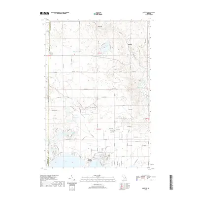
2019 Map of Lewiston
USGS Topo · Published 2019About this map
West Twin Lake and East Twin Lake anchor the southern edge of this landscape, where the settlement of Vienna Junction sits at the narrow passage between the waters. The surrounding area in Montmorency County is defined by a dense concentration of glacial kettle lakes, including Gaylanta Lake, Woodmere Lake, and the smaller Hidden Lake and Crystal Lake to the west. This 2019 survey documents the transition from the lakeside clusters of Vienna Junction to the more dispersed rural outposts like Donnelly, Bigelow, and Vienna Corners. Genealogists will find the Lewiston Cem and Saint Francis of Assisi Catholic Cem clearly marked north of the main lakes, serving as focal points for local history research in this lake-strewn portion of the northern Lower Peninsula.
Find a feature on this map
109 named features on this map. Tap any name to fly to it.
Don’t see what you’re looking for? This feature index may not catch every label — zoom into the map to look around manually.
Map Details
Editions of this 2019 Lewiston Map
This is the sole edition of this map. No revisions or reprints were ever made.
Other maps of this area

1949 · Lewiston
USGS Topo · 1:62,500

1950 · Lewiston
USGS Topo · 1:24,000

1950 · Comstock Hills
USGS Topo · 1:24,000

1950 · Johannesburg
USGS Topo · 1:24,000

1950 · Lovells
USGS Topo · 1:24,000

1951 · Comstock Hills
USGS Topo · 1:24,000

1951 · Lovells
USGS Topo · 1:24,000

1951 · Johannesburg
USGS Topo · 1:24,000

1951 · Lewiston
USGS Topo · 1:24,000

1954 · Hetherton
USGS Topo · 1:62,500