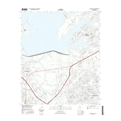
2016 Map of Lewisville East
USGS Topo · Published 2016About this map
Lake Lewisville dominates the northwestern portion of this landscape, its irregular shoreline reaching toward the developing suburbs of The Colony and Lewisville. The Elm Fork Trinity River winds through the central valley, joined by tributaries such as McWhorter Cr and Indian Cr. This 2016 survey documents the dense residential expansion of the North Texas corridor, where modern subdivisions surround older landmarks like Ritter Cem and Cem Hill. The map detail captures the transition from the lake's edge to the urban grid of Carrollton and Hebron. Named water features like Bright Lake and Underwood Lake sit among a complex network of roads, including Lebanon Rd and Lone Star Ranch Pkwy, illustrating the rapid suburbanization of the region at the start of the 21st century.
Find a feature on this map
259 named features on this map. Tap any name to fly to it.
Don’t see what you’re looking for? This feature index may not catch every label — zoom into the map to look around manually.
Map Details
Editions of this 2016 Lewisville East Map
This is the sole edition of this map. No revisions or reprints were ever made.
Other maps of this area

1891 · Dallas
USGS Topo · 1:125,000

1893 · Dallas
USGS Topo · 1:125,000

1894 · Fort Worth
USGS Topo · 1:125,000

1925 · Mc Kinney 3-c
USGS Topo · 1:48,000

1925 · Dallas 2-b
USGS Topo · 1:48,000

1929 · Frisco
USGS Topo · 1:62,500

1931 · Carrollton
USGS Topo · 1:62,500

1931 · Grapevine
USGS Topo · 1:62,500

1954 · Dallas
USGS Topo · 1:250,000

1954 · Sherman
USGS Topo · 1:250,000