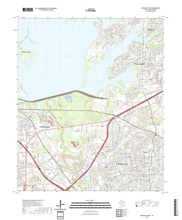
2022 Map of Lewisville East
USGS Topo · Published 2022About this map
The suburban expansion of northern Texas is documented in this 2022 survey, centered on the rapidly growing corridor between Lewisville and Frisco. A significant portion of the landscape is defined by the eastern waters of Lake Lewisville, with residential developments in The Colony pressing against the shoreline and local drainages like McWhorter Creek and Stewart Cr. The map highlights the area's transition from agricultural use to a dense residential and commercial network, yet several historical markers remain. Multiple small burial grounds, including Ritter Cem and Macedonia Cem, are preserved within the modern street grid, serving as reminders of the rural communities that predated the late-20th-century boom. In the southeast, the confluence of Elm Fork Trinity River and Furneaux Cr marks the boundary of Carrollton, near the small settlement of Hebron.
Find a feature on this map
269 named features on this map. Tap any name to fly to it.
Don’t see what you’re looking for? This feature index may not catch every label — zoom into the map to look around manually.
Map Details
Editions of this 2022 Lewisville East Map
This is the sole edition of this map. No revisions or reprints were ever made.
Other maps of this area

1891 · Dallas
USGS Topo · 1:125,000

1893 · Dallas
USGS Topo · 1:125,000

1894 · Fort Worth
USGS Topo · 1:125,000

1925 · Mc Kinney 3-c
USGS Topo · 1:48,000

1925 · Dallas 2-b
USGS Topo · 1:48,000

1929 · Frisco
USGS Topo · 1:62,500

1931 · Carrollton
USGS Topo · 1:62,500

1931 · Grapevine
USGS Topo · 1:62,500

1954 · Dallas
USGS Topo · 1:250,000

1954 · Sherman
USGS Topo · 1:250,000