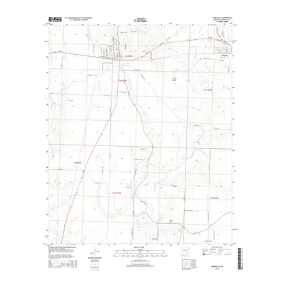
2014 Map of Lewisville
USGS Topo · Published 2014About this map
Lewisville and Stamps anchor this landscape in Lafayette County, reflecting a history tied to both agriculture and the regional energy industry. The map illustrates the town layouts at the turn of the 21st century, showing Lewisville with its grid of streets like W First St and N Maple St near the confluence of Steel Cr and Battle Cr. To the southwest, the smaller settlement of Kress City sits near the winding course of Field Bayou.
Find a feature on this map
79 named features on this map. Tap any name to fly to it.
Don’t see what you’re looking for? This feature index may not catch every label — zoom into the map to look around manually.
Map Details
Editions of this 2014 Lewisville Map
This is the sole edition of this map. No revisions or reprints were ever made.
Other maps of this area

1952 · Garland
USGS Topo · 1:24,000

1952 · Bradley NE
USGS Topo · 1:24,000

1952 · Old Town
USGS Topo · 1:24,000

1952 · Canfield
USGS Topo · 1:24,000

1952 · Lewisville
USGS Topo · 1:24,000

1952 · Boyd Hill
USGS Topo · 1:24,000

1953 · El Dorado
USGS Topo · 1:250,000

1957 · El Dorado
USGS Topo · 1:250,000

1958 · El Dorado
USGS Topo · 1:250,000

1960 · El Dorado
USGS Topo · 1:250,000