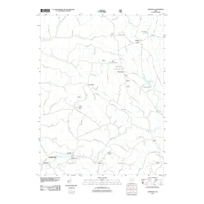
2011 Map of Lewisville
USGS Topo · Published 2011About this map
Lewisville and Miltonsburg anchor this rural landscape in Monroe County, defined by a dense network of ridge-top roads and small valley streams. The area's ancestral roots are visible through numerous faith-based landmarks, including the Middle Church German Lutheran Cemetery and the Saint Johns Roman Catholic Cemetery. These sites, along with smaller family or community plots like the Free Burial Ground and Schell Cemetery, trace the settlement patterns of early German immigrant communities in this part of Ohio.
Find a feature on this map
104 named features on this map. Tap any name to fly to it.
Don’t see what you’re looking for? This feature index may not catch every label — zoom into the map to look around manually.
Map Details
Editions of this 2011 Lewisville Map
This is the sole edition of this map. No revisions or reprints were ever made.
Other maps of this area

1903 · Macksburg
USGS Topo · 1:62,500

1905 · New Matamoras
USGS Topo · 1:62,500

1905 · Woodsfield
USGS Topo · 1:62,500

1905 · Macksburg
USGS Topo · 1:62,500

1909 · Summerfield
USGS Topo · 1:62,500

1911 · Summerfield
USGS Topo · 1:62,500

1924 · New Matamoras
USGS Topo · 1:62,500

1926 · New Matamoras
USGS Topo · 1:62,500

1949 · Clarksburg
USGS Topo · 1:250,000

1956 · Clarksburg
USGS Topo · 1:250,000