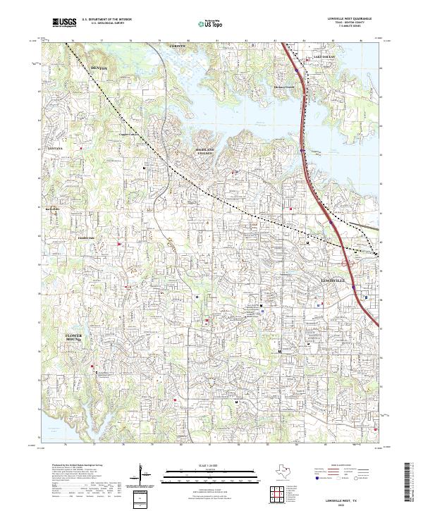
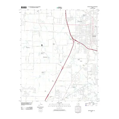
2022 Map of Lewisville West
USGS Topo · Published 2022About this map
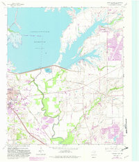
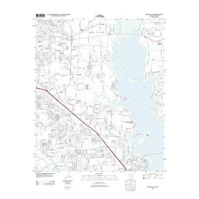
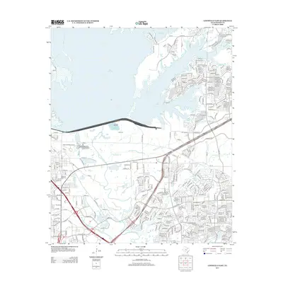
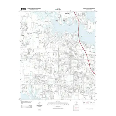
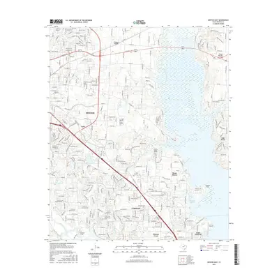
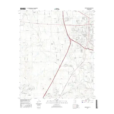
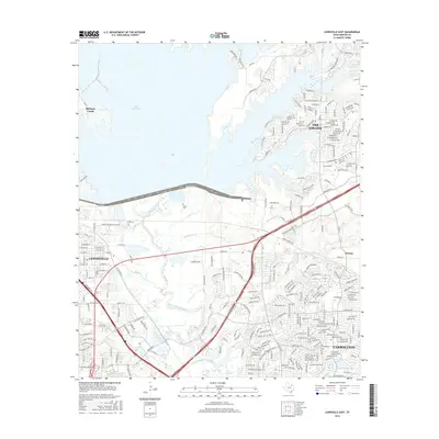
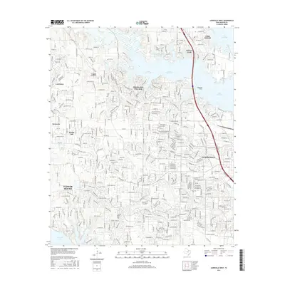
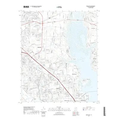
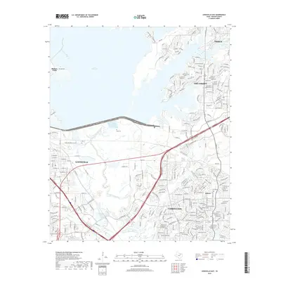
Lake Lewisville and its prominent Hickory Creek Arm dominate this landscape, reflecting the suburban expansion into the lakeshore communities of Denton County. The map details a dense network of residential developments and established towns, including Lewisville, Flower Mound, and Highland Village. Amidst the modern growth, several local historical markers remain, such as the Chinns Chapel Cem and Flower Mound Cem. Educational and religious institutions are well-represented, with both the North Central Texas College Flower Mound Campus and Midwestern State University - Flower Mound Campus established here. The intricate drainage systems of Timber Cr and Prairie Cr weave through the suburban landscape, illustrating the proximity of residential life to the local riparian environment.
Find a feature on this map
81 named features on this map. Tap any name to fly to it.
Don’t see what you’re looking for? This feature index may not catch every label — zoom into the map to look around manually.
Map Details
Editions of this 2022 Lewisville West Map
This is the sole edition of this map. No revisions or reprints were ever made.
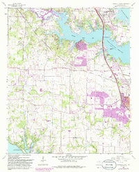
Historical Maps of Denton Through Time
37 maps found

1925 Mc Kinney 3-c
Denton County, TX
1960 Denton East
Denton County, TX
1960 Denton West
Denton County, TX
1960 Green Valley
Denton County, TX
1960 Lewisville East
Denton County, TX
1960 Lewisville West
Denton County, TX
1961 Era SE
Denton County, TX
2010 Denton East
Denton County, TX
2010 Denton West
Denton County, TX
2010 Era SE
Denton County, TX
2010 Green Valley
Denton County, TX

2010 Lewisville East
Denton County, TX
2010 Lewisville West
Denton County, TX
2013 Denton East
Denton County, TX
2013 Denton West
Denton County, TX
2013 Era SE
Denton County, TX
2013 Green Valley
Denton County, TX
2013 Lewisville East
Denton County, TX
2013 Lewisville West
Denton County, TX
2016 Denton East
Denton County, TX
2016 Denton West
Denton County, TX
2016 Era SE
Denton County, TX
2016 Green Valley
Denton County, TX
2016 Lewisville East
Denton County, TX
2016 Lewisville West
Denton County, TX
2019 Denton East
Denton County, TX
2019 Denton West
Denton County, TX
2019 Era SE
Denton County, TX
2019 Green Valley
Denton County, TX
2019 Lewisville East
Denton County, TX
2019 Lewisville West
Denton County, TX
2022 Denton East
Denton County, TX
2022 Denton West
Denton County, TX
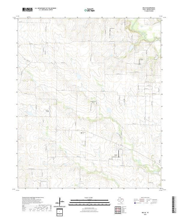
2022 Era SE
Denton County, TX
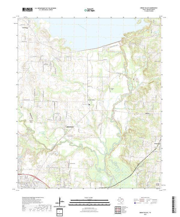
2022 Green Valley
Denton County, TX
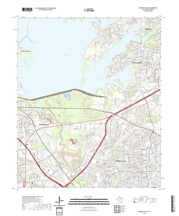
2022 Lewisville East
Denton County, TX
2022 Lewisville West
Denton County, TX