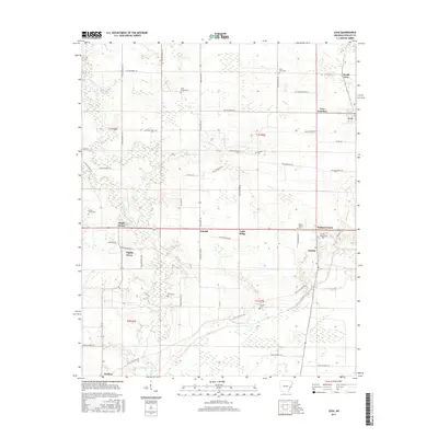
2017 Map of Lexa
USGS Topo · Published 2017About this map
Lexa and the surrounding Phillips County agricultural landscape are captured here just before the close of the 2010s. The map illustrates a network of small settlements and rural crossroads including Barton, Poplar Grove, and Walnut Corner. This region is defined by its deep roots, visible through numerous family and community burial grounds such as Saint James Cem, Tucker Grove Cem, and the uniquely named Hell Cem.
Find a feature on this map
59 named features on this map. Tap any name to fly to it.
Don’t see what you’re looking for? This feature index may not catch every label — zoom into the map to look around manually.
Map Details
Editions of this 2017 Lexa Map
This is the sole edition of this map. No revisions or reprints were ever made.
Other maps of this area

1939 · Farrell
USGS Topo · 1:62,500

1939 · Modoc
USGS Topo · 1:62,500

1939 · Latour
USGS Topo · 1:62,500

1940 · Marvell
USGS Topo · 1:62,500

1948 · Helena
USGS Topo · 1:250,000

1948 · Modoc
USGS Topo · 1:62,500

1950 · Helena
USGS Topo · 1:250,000

1955 · Latour
USGS Topo · 1:62,500
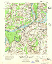
1955 · Farrell
USGS Topo · 1:62,500

1955 · Helena
USGS Topo · 1:250,000