
1950 Map of Lexington East
USGS Topo · Published 1965About this map
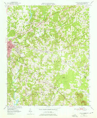
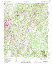
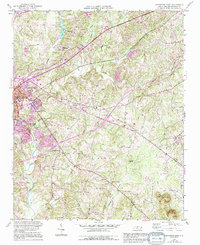
Lexington and the surrounding rural townships of Conrad Hill and Silver Hill are documented here just as post-war development began to reshape Davidson County. The landscape is defined by the headwaters of High Rock Lake in the south and the winding course of Abbotts Creek, which feeds into the City Lake Filtration Plant. This era shows a community structured around its spiritual and social institutions, with several historic meeting places such as Pilgrim Reformed Ch, Old Becks Ch, and New Becks Ch serving the outlying settlements of Holly Grove and Hedrick Grove.
Find a feature on this map
36 named features on this map. Tap any name to fly to it.
Don’t see what you’re looking for? This feature index may not catch every label — zoom into the map to look around manually.
Map Details
Editions of this 1950 Lexington East Map
4 editions found
Other maps of this area

1949 · Denton NW
USGS Topo · 1:24,000

1949 · Eller
USGS Topo · 1:24,000

1949 · High Point West
USGS Topo · 1:24,000

1950 · Lexington West
USGS Topo · 1:24,000

1951 · Lexington East
USGS Topo · 1:24,000

1951 · Lexington West
USGS Topo · 1:24,000

1951 · Fair Grove
USGS Topo · 1:24,000

1953 · Charlotte
USGS Topo · 1:250,000

1954 · Charlotte
USGS Topo · 1:250,000

1957 · Denton
USGS Topo · 1:62,500