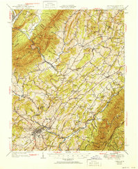
1951 Map of Lexington
USGS Topo · Published 1951About this map
Lexington and the surrounding Shenandoah Valley landscape appear here in mid-century detail, centered on the confluence of the Maury River and South River. The map captures the established settlement patterns of Rockbridge County, where historic religious centers like New Providence Ch and Bethesda Ch served rural communities long before modern expansion. The presence of Rockbridge Baths and Wilson Springs indicates the region's enduring appeal for its natural waters, while industry is noted through sites like McClung Mill and the Quarry near Mudtown.
Find a feature on this map
172 named features on this map. Tap any name to fly to it.
Don’t see what you’re looking for? This feature index may not catch every label — zoom into the map to look around manually.
Map Details
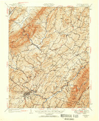
Editions of this 1951 Lexington Map
2 editions found
Other maps of this area

1894 · Staunton
USGS Topo · 1:125,000

1894 · Natural Bridge
USGS Topo · 1:125,000

1894 · Lexington
USGS Topo · 1:125,000

1894 · Natural Bridge
USGS Topo · 1:62,500

1901 · Monterey
USGS Topo · 1:125,000

1907 · Natural Bridge Special
USGS Topo · 1:62,500

1932 · Lexington
USGS Topo · 1:48,000

1935 · Buena Vista
USGS Topo · 1:48,000

1935 · Amherst
USGS Topo · 1:48,000

1936 · Vesuvius
USGS Topo · 1:48,000