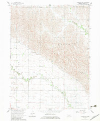
1962 Map of Lexington SE
USGS Topo · Published 1983About this map
Agricultural development in rural Dawson County is mapped here through a network of irrigation works and township divisions. The Dawson County Canal and various siphons illustrate the engineered landscape required for prairie farming in the mid-20th century. While the settlement of Josselyn serves as a local point of reference, the map highlights the infrastructure of a decentralized rural community, including School No 21 and the Fairhaven Ch. The natural drainages of Buffalo Creek and Elm Creek wind through the terrain, contrasting with the straight lines of the legal boundaries for Grant, Logan, and Overton townships. Mapping of this area was supported by the U.S. Bureau of Reclamation as part of a larger federal initiative for the development of the Missouri River Basin, reflecting the era's focus on water management and land productivity.
Find a feature on this map
14 named features on this map. Tap any name to fly to it.
Don’t see what you’re looking for? This feature index may not catch every label — zoom into the map to look around manually.
Map Details
Editions of this 1962 Lexington SE Map
2 editions found
Other maps of this area

1896 · Lexington
USGS Topo · 1:125,000

1896 · Kearney
USGS Topo · 1:125,000

1899 · Lexington
USGS Topo · 1:125,000

1955 · Grand Island
USGS Topo · 1:250,000

1957 · Grand Island
USGS Topo · 1:250,000

1958 · Grand Island
USGS Topo · 1:250,000

1961 · Elm Creek West
USGS Topo · 1:24,000

1961 · Miller SW
USGS Topo · 1:24,000

1962 · Lexington SE
USGS Topo · 1:24,000
1962 · Miller
USGS Topo · 1:24,000