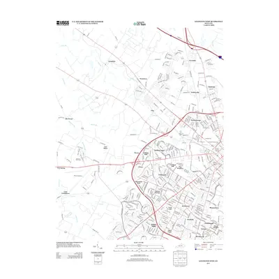
2013 Map of Lexington West
USGS Topo · Published 2013About this map
The western reaches of Lexington and the surrounding Fayette County landscape reveal a transition from suburban neighborhoods to the thoroughbred country of central Kentucky. Large-scale landmarks like the Keeneland Race Course and Blue Grass Airport occupy significant acreage on the western edge, illustrating the area's equestrian and transportation importance. The map captures a dense cluster of burial grounds, including the expansive Lexington Cem, the Lexington National Cem, and Calvary Cem, providing valuable touchstones for genealogical research.
Find a feature on this map
354 named features on this map. Tap any name to fly to it.
Don’t see what you’re looking for? This feature index may not catch every label — zoom into the map to look around manually.
Map Details
Editions of this 2013 Lexington West Map
This is the sole edition of this map. No revisions or reprints were ever made.
Other maps of this area

1892 · Richmond
USGS Topo · 1:125,000

1897 · Richmond
USGS Topo · 1:125,000

1905 · Harrodsburg
USGS Topo · 1:125,000

1906 · Georgetown
USGS Topo · 1:62,500

1908 · Georgetown
USGS Topo · 1:62,500

1927 · Lexington
USGS Topo · 1:48,000

1929 · Lexington
USGS Topo · 1:62,500

1950 · Lexington East
USGS Topo · 1:24,000

1950 · Lexington West
USGS Topo · 1:24,000

1952 · Keene
USGS Topo · 1:24,000
Featured Places
- Lexington, KY
- Cardinal Hill, Lexington
- Highlands, Lexington
- Little Georgetown, Lexington
- Pine Meadows, Lexington