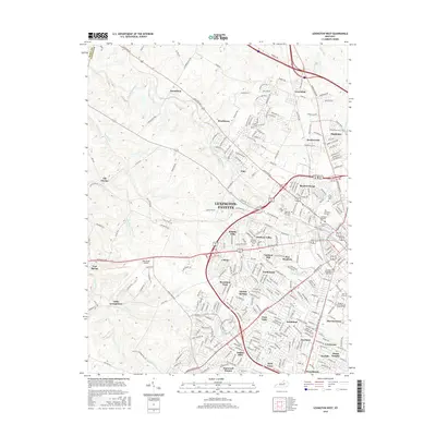
2016 Map of Lexington West
USGS Topo · Published 2016About this map
The western suburbs of Lexington-Fayette reveal a dense network of residential subdivisions and institutional landmarks typical of late-twentieth-century urban expansion. Communities like Garden Springs, Beaumont Park, and Cardinal Valley fill the landscape between major thoroughfares such as Leestown Rd and Versailles Rd. To the west, the sprawling grounds of the Blue Grass Airport define the transition to more open terrain near Little Georgetown and Fort Spring.
Find a feature on this map
286 named features on this map. Tap any name to fly to it.
Don’t see what you’re looking for? This feature index may not catch every label — zoom into the map to look around manually.
Map Details
Editions of this 2016 Lexington West Map
This is the sole edition of this map. No revisions or reprints were ever made.
Other maps of this area

1892 · Richmond
USGS Topo · 1:125,000

1897 · Richmond
USGS Topo · 1:125,000

1905 · Harrodsburg
USGS Topo · 1:125,000

1906 · Georgetown
USGS Topo · 1:62,500

1908 · Georgetown
USGS Topo · 1:62,500

1927 · Lexington
USGS Topo · 1:48,000

1929 · Lexington
USGS Topo · 1:62,500

1950 · Lexington East
USGS Topo · 1:24,000

1950 · Lexington West
USGS Topo · 1:24,000

1952 · Keene
USGS Topo · 1:24,000
Featured Places
- Lexington, KY
- Cardinal Hill, Lexington
- Highlands, Lexington
- Little Georgetown, Lexington
- Pine Meadows, Lexington