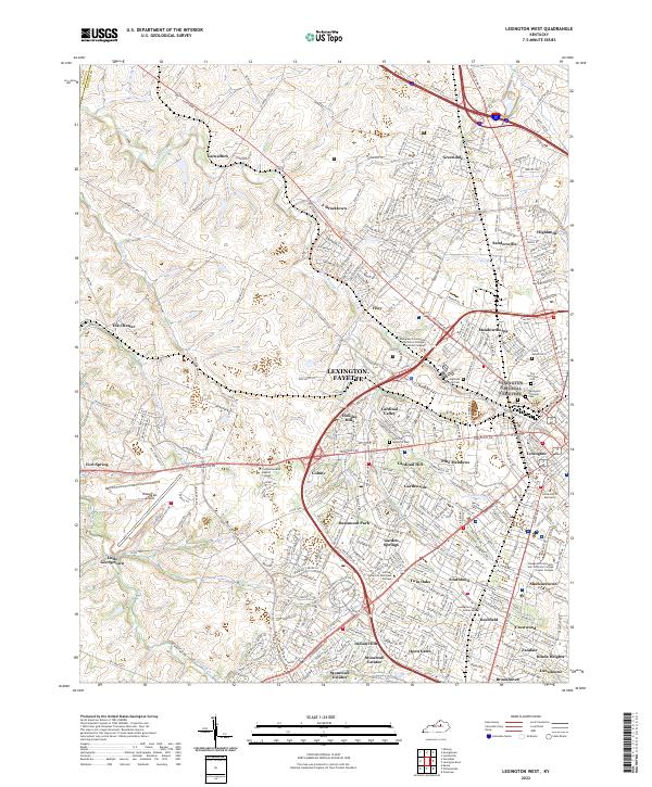
2022 Map of Lexington West
USGS Topo · Published 2022About this map
The western suburbs of Lexington and the surrounding Bluegrass landscape define this 2022 survey, showcasing the dense network of neighborhoods and institutional lands that characterize the Lexington-Fayette urban-county government area. Major cemeteries such as Lexington Cem and the Lexington National Cem sit near the city center, while suburban expansion reaches toward the Blue Grass Airport and historic rural settlements like Bracktown and Yarnallton. The map documents the sprawling campus of the University of Kentucky and the specialized grounds of the Bluegrass Community & Technical College Leestown Campus.
Find a feature on this map
319 named features on this map. Tap any name to fly to it.
Don’t see what you’re looking for? This feature index may not catch every label — zoom into the map to look around manually.
Map Details
Editions of this 2022 Lexington West Map
This is the sole edition of this map. No revisions or reprints were ever made.
Other maps of this area

1892 · Richmond
USGS Topo · 1:125,000

1897 · Richmond
USGS Topo · 1:125,000

1905 · Harrodsburg
USGS Topo · 1:125,000

1906 · Georgetown
USGS Topo · 1:62,500

1908 · Georgetown
USGS Topo · 1:62,500

1927 · Lexington
USGS Topo · 1:48,000

1929 · Lexington
USGS Topo · 1:62,500

1950 · Lexington East
USGS Topo · 1:24,000

1950 · Lexington West
USGS Topo · 1:24,000

1952 · Keene
USGS Topo · 1:24,000