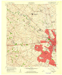
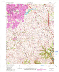
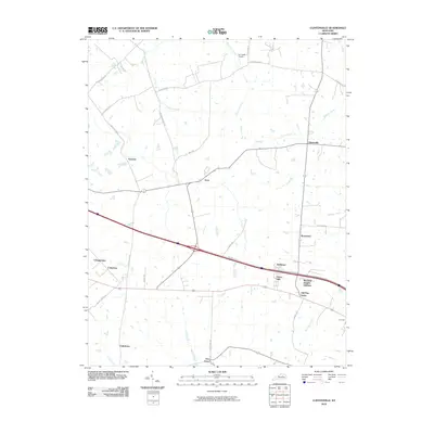
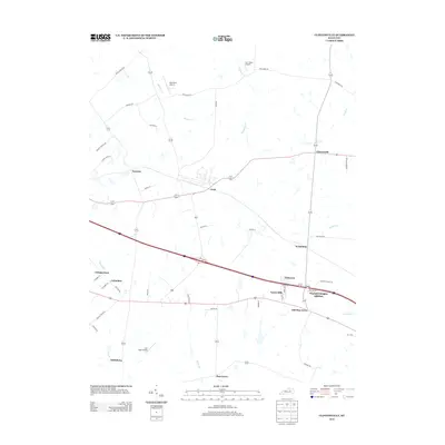
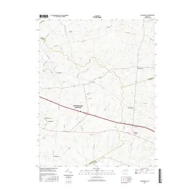
1959 Map of Lexington West
USGS Topo · Published 1961About this map
The renowned horse-racing and breeding heritage of the Bluegrass region is on full display, with the grounds of Keeneland Race Course and the Lexington Trotting Track anchoring a landscape of prestigious estates. Legendary thoroughbred operations like Calumet Farm, Darby Dan Farm, and King Ranch Farm define the area west of the city, where the Southern and Louisville and Nashville railroads bisect the rolling terrain.
Find a feature on this map
90 named features on this map. Tap any name to fly to it.
Don’t see what you’re looking for? This feature index may not catch every label — zoom into the map to look around manually.
Map Details
Editions of this 1959 Lexington West Map
This is the sole edition of this map. No revisions or reprints were ever made.
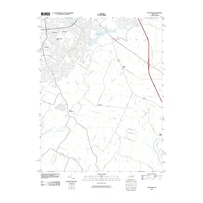
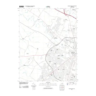
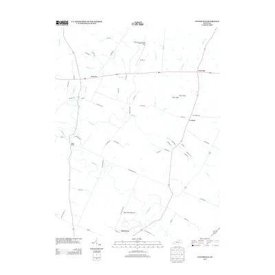
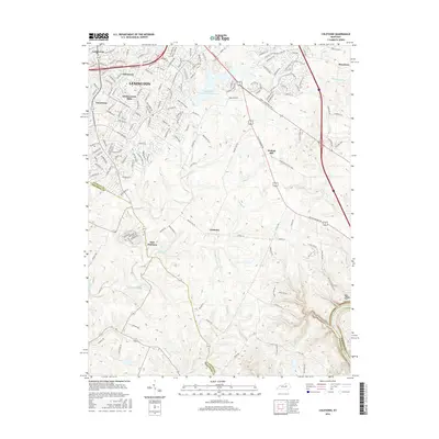
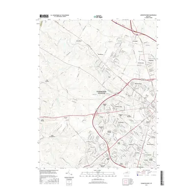
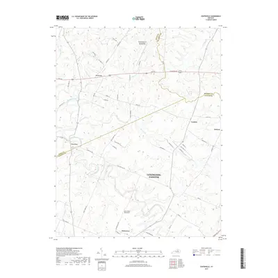
Historical Maps of Lexington Through Time
39 maps found

1950 Lexington East
Fayette County, KY

1950 Lexington West
Fayette County, KY
1952 Clintonville
Fayette County, KY

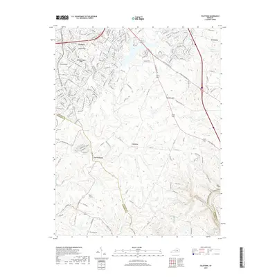
1952 Coletown
Fayette County, KY
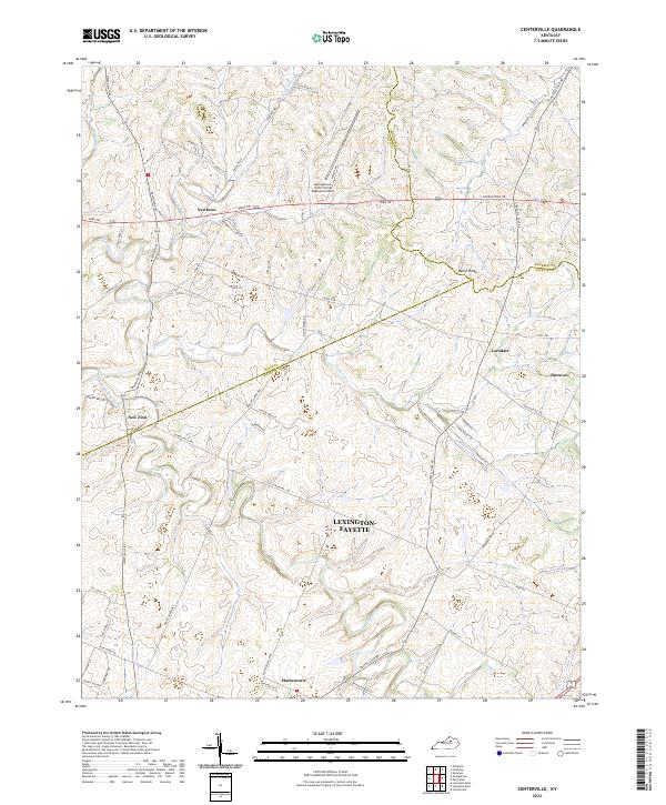
1954 Centerville
Fayette County, KY

1954 Lexington East
Fayette County, KY

1955 Lexington West
Fayette County, KY

1959 Coletown
Fayette County, KY

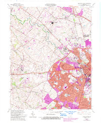
1959 Lexington East
Fayette County, KY
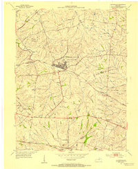
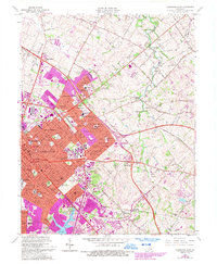
1959 Lexington West
Fayette County, KY
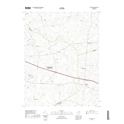
1965 Clintonville
Fayette County, KY
1965 Coletown
Fayette County, KY
1965 Lexington East
Fayette County, KY
1965 Lexington West
Fayette County, KY
2010 Centerville
Fayette County, KY
2010 Clintonville
Fayette County, KY
2010 Coletown
Fayette County, KY

2010 Lexington East
Fayette County, KY
2010 Lexington West
Fayette County, KY
2013 Centerville
Fayette County, KY
2013 Clintonville
Fayette County, KY
2013 Coletown
Fayette County, KY

2013 Lexington East
Fayette County, KY
2013 Lexington West
Fayette County, KY
2016 Centerville
Fayette County, KY
2016 Clintonville
Fayette County, KY
2016 Coletown
Fayette County, KY

2016 Lexington East
Fayette County, KY
2016 Lexington West
Fayette County, KY
2019 Centerville
Fayette County, KY
2019 Clintonville
Fayette County, KY
2019 Coletown
Fayette County, KY
2019 Lexington East
Fayette County, KY

2019 Lexington West
Fayette County, KY
2022 Centerville
Fayette County, KY
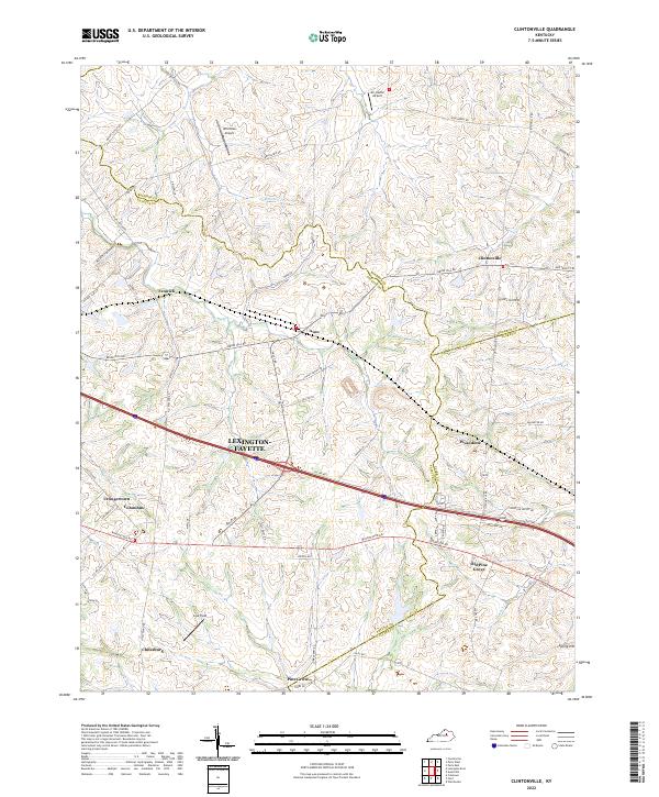
2022 Clintonville
Fayette County, KY
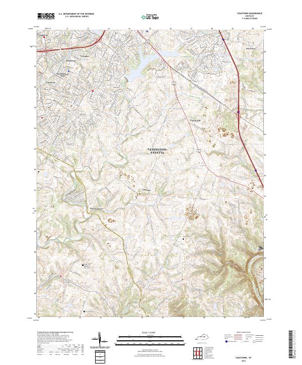
2022 Coletown
Fayette County, KY
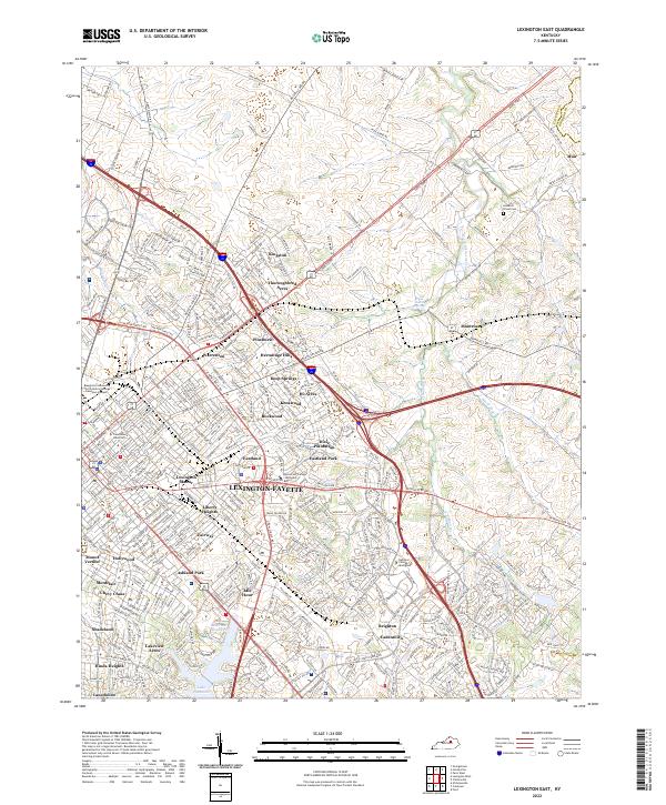
2022 Lexington East
Fayette County, KY
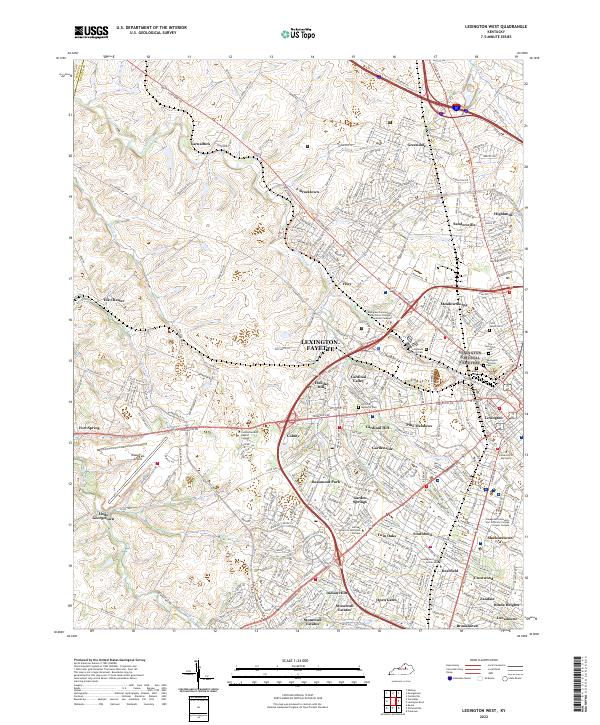
2022 Lexington West
Fayette County, KY
Featured Locations
- Lexington, KY
- Elk Chester, Lexington
- Highlands, Lexington
- Holiday Hills, Lexington
- Garden Springs, Lexington