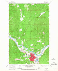
1963 Map of Libby
USGS Topo · Published 1966About this map
The Kootenai River snakes through the mountainous terrain of the Kootenai National Forest, defining the valley where the town of Libby serves as a vital regional hub. The Great Northern railroad tracks parallel the river's south bank, supporting a local economy built on timber and mineral extraction. This 1963 survey captures the town's social fabric through its concentrated educational and civic infrastructure, including Asa Wood Jr HS, Libby High Sch, and the Plummer Sch. Outside the residential core, the landscape transitions into the industrial and recreational, featuring several Gravel Pits, the St Anthony Mine, and the Drive-in Theater. Further north, the rugged Bobtail Ridge and Sheldon Mtn loom over the drainage basins of Bobtail Creek and Pipe Creek, illustrating the intersection of wild forest land and established settlement.
Find a feature on this map
32 named features on this map. Tap any name to fly to it.
Don’t see what you’re looking for? This feature index may not catch every label — zoom into the map to look around manually.
Map Details
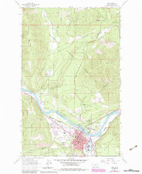
Editions of this 1963 Libby Map
2 editions found
Other maps of this area

1920 · Libby
USGS Topo · 1:125,000

1920 · Jennings
USGS Topo · 1:125,000

1930 · Libby
USGS Topo · 1:125,000

1932 · Libby
USGS Topo · 1:125,000

1935 · Thompson Lakes
USGS Topo · 1:96,000

1942 · Thompson Lakes
USGS Topo · 1:125,000

1957 · Kalispell
USGS Topo · 1:250,000

1960 · Kalispell
USGS Topo · 1:250,000

1961 · Kalispell
USGS Topo · 1:250,000

1963 · Scenery Mountain
USGS Topo · 1:24,000