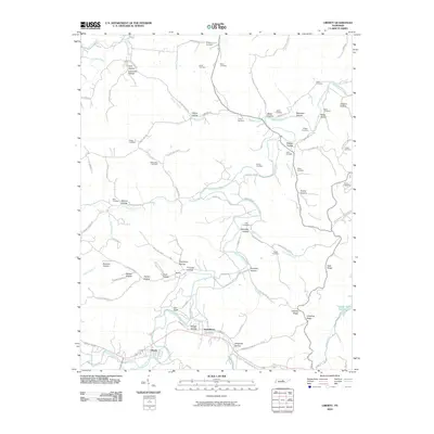
2010 Map of Liberty
USGS Topo · Published 2010About this map
Smith Fork Creek and its many winding tributaries shape the valley landscape surrounding Liberty and Dowelltown in this 2010 survey. The area is defined by a complex network of family-named hollows, including Oakley Hollow, Bates Hollow, and Chapman Hollow, which sit below prominent landmarks like Gin Bluff and Dale Ridge. The map reveals a deeply rooted rural community, marked by more than a dozen local burying grounds such as Gwaltney Cemetery, Nixon Cemetery, and Pisgah Cemetery. These features, along with the curious naming of The Narrow Way and the small settlement at Dismal, suggest a landscape where historic land divisions and family legacies have persisted despite the passage of time. To the southeast, Cedar Hill Lake and the various branches of Indian Creek illustrate the water-rich geography that continues to support the local agricultural and residential patterns of this part of Tennessee.
Find a feature on this map
102 named features on this map. Tap any name to fly to it.
Don’t see what you’re looking for? This feature index may not catch every label — zoom into the map to look around manually.
Map Details
Editions of this 2010 Liberty Map
This is the sole edition of this map. No revisions or reprints were ever made.
Other maps of this area

1893 · Mc Minnville
USGS Topo · 1:125,000

1895 · Mc Minnville
USGS Topo · 1:125,000

1908 · Woodbury
USGS Topo · 1:62,500

1928 · Gordonsville
USGS Topo · 1:62,500

1942 · Statesville
USGS Topo · 1:100,000

1953 · Chattanooga
USGS Topo · 1:250,000

1956 · Columbia
USGS Topo · 1:250,000

1956 · Corbin
USGS Topo · 1:250,000

1956 · Nashville
USGS Topo · 1:250,000

1957 · Chattanooga
USGS Topo · 1:250,000