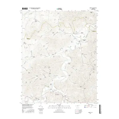
2016 Map of Liberty
USGS Topo · Published 2016About this map
Liberty and Dowelltown anchor the southern portion of this terrain, situated along the meandering course of Dry Creek and Smith Fork Creek. The landscape is defined by a dense network of hollows, such as Kyle Hollow and Mason Hollow, and prominent ridges like Dale Ridge and Capling Ridge. A significant concentration of small family and community cemeteries, including the Civil War Cem near Dowelltown and the Fisher Cem to the northeast, reflects a long-settled rural history. The presence of Soggy Bottom Airport near Gin Bluff highlights the adaptation of local land for aviation. To the far east, the waters of Center Hill Lake begin to reach into the valley, marking the edge of a significant regional reservoir system that altered the drainage patterns of several local branches.
Find a feature on this map
137 named features on this map. Tap any name to fly to it.
Don’t see what you’re looking for? This feature index may not catch every label — zoom into the map to look around manually.
Map Details
Editions of this 2016 Liberty Map
This is the sole edition of this map. No revisions or reprints were ever made.
Other maps of this area

1893 · Mc Minnville
USGS Topo · 1:125,000

1895 · Mc Minnville
USGS Topo · 1:125,000

1908 · Woodbury
USGS Topo · 1:62,500

1928 · Gordonsville
USGS Topo · 1:62,500

1942 · Statesville
USGS Topo · 1:100,000

1953 · Chattanooga
USGS Topo · 1:250,000

1956 · Columbia
USGS Topo · 1:250,000

1956 · Corbin
USGS Topo · 1:250,000

1956 · Nashville
USGS Topo · 1:250,000

1957 · Chattanooga
USGS Topo · 1:250,000