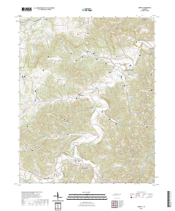
2022 Map of Liberty
USGS Topo · Published 2022About this map
The town of Liberty sits at the southern edge of this Tennessee landscape, where the Smith Fork Creek carves a path through the dissected hills of DeKalb County. The settlement pattern here is intimately tied to the complex topography of ridges and hollows, with older communities like Dowelltown and Temperance Hall situated along the valley floors. Numerous family-named landmarks and cemeteries, such as the Gualtney Cem and Fisher Cem, are scattered across the terrain, reflecting generations of local residency in the areas surrounding Lancaster Hill and Gin Bluff.
Find a feature on this map
117 named features on this map. Tap any name to fly to it.
Don’t see what you’re looking for? This feature index may not catch every label — zoom into the map to look around manually.
Map Details
Editions of this 2022 Liberty Map
This is the sole edition of this map. No revisions or reprints were ever made.
Other maps of this area

1893 · Mc Minnville
USGS Topo · 1:125,000

1895 · Mc Minnville
USGS Topo · 1:125,000

1908 · Woodbury
USGS Topo · 1:62,500

1928 · Gordonsville
USGS Topo · 1:62,500

1942 · Statesville
USGS Topo · 1:100,000

1953 · Chattanooga
USGS Topo · 1:250,000

1956 · Columbia
USGS Topo · 1:250,000

1956 · Corbin
USGS Topo · 1:250,000

1956 · Nashville
USGS Topo · 1:250,000

1957 · Chattanooga
USGS Topo · 1:250,000