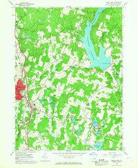
1966 Map of Liberty East
USGS Topo · Published 1968About this map
The Neversink Reservoir dominates the northeastern landscape of this mid-1960s survey, representing a critical piece of the New York City Water Supply Boundary. Surrounding this massive water project, the terrain is dotted with small hamlets and institutional landmarks that defined local life. In Liberty, the presence of Maimonides Hospital, St Peters Sch, and the County Home indicates a regional hub of services, while an Old Railroad Grade traces a line through the valleys, marking the path of former rail commerce. To the south, the community of Loch Sheldrake sits adjacent to its namesake lake, surrounded by seasonal recreational features like the Drive-in Theater and Liberty Municipal Park. The map captures the area just as modern infrastructure, such as the Liberty Airport, began to sit alongside older settlements like Aden and Cooley.
Find a feature on this map
41 named features on this map. Tap any name to fly to it.
Don’t see what you’re looking for? This feature index may not catch every label — zoom into the map to look around manually.
Map Details
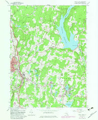
Editions of this 1966 Liberty East Map
2 editions found
Other maps of this area

1909 · Monticello
USGS Topo · 1:62,500

1910 · Neversink
USGS Topo · 1:62,500

1911 · Monticello
USGS Topo · 1:62,500

1921 · Livingston Manor
USGS Topo · 1:62,500

1922 · White Lake
USGS Topo · 1:62,500

1923 · Livingston Manor
USGS Topo · 1:62,500

1942 · White Lake
USGS Topo · 1:62,500

1942 · Neversink
USGS Topo · 1:62,500

1943 · White Lake
USGS Topo · 1:62,500

1943 · Monticello
USGS Topo · 1:62,500