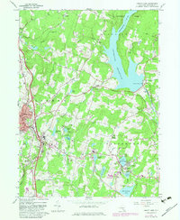
1966 Map of Liberty East
USGS Topo · Published 1983About this map
Liberty serves as a regional hub for central Sullivan County on this 1960s survey, showing a landscape defined by resort-era growth and hydraulic engineering. The massive Neversink Reservoir and the subterranean Neversink Rondout Aqueduct dominate the eastern topography, illustrating the area's critical role in the New York City water supply system. To the south, the expansion of the Sullivan County Community College campus and the clustering of bungalow colonies and summer camps around Loch Sheldrake and Grossingers Lake reflect the mid-century peak of the Catskill vacation economy.
Find a feature on this map
47 named features on this map. Tap any name to fly to it.
Don’t see what you’re looking for? This feature index may not catch every label — zoom into the map to look around manually.
Map Details
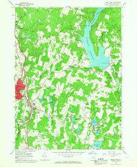
Editions of this 1966 Liberty East Map
2 editions found
Other maps of this area

1909 · Monticello
USGS Topo · 1:62,500

1910 · Neversink
USGS Topo · 1:62,500

1911 · Monticello
USGS Topo · 1:62,500

1921 · Livingston Manor
USGS Topo · 1:62,500

1922 · White Lake
USGS Topo · 1:62,500

1923 · Livingston Manor
USGS Topo · 1:62,500

1942 · White Lake
USGS Topo · 1:62,500

1942 · Neversink
USGS Topo · 1:62,500

1943 · White Lake
USGS Topo · 1:62,500

1943 · Monticello
USGS Topo · 1:62,500